Mirna River mouth
Address
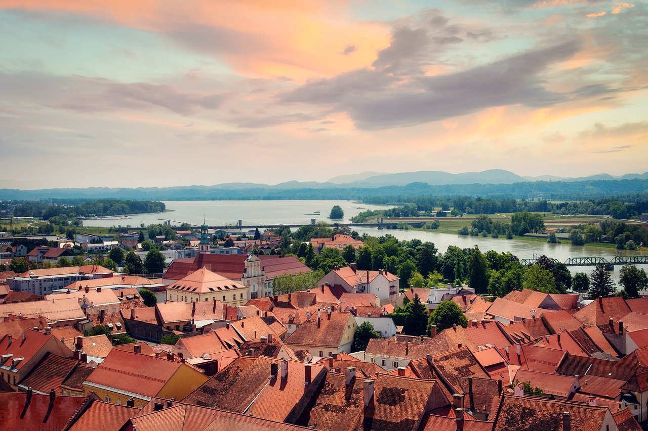
Novigrad
GPS
45.314540001846, 13.571655750275
Level of difficulty 2 | Gastronomy 2 | Length 8 km | Time 2 - 3 hours
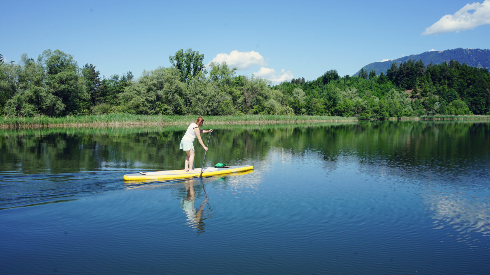
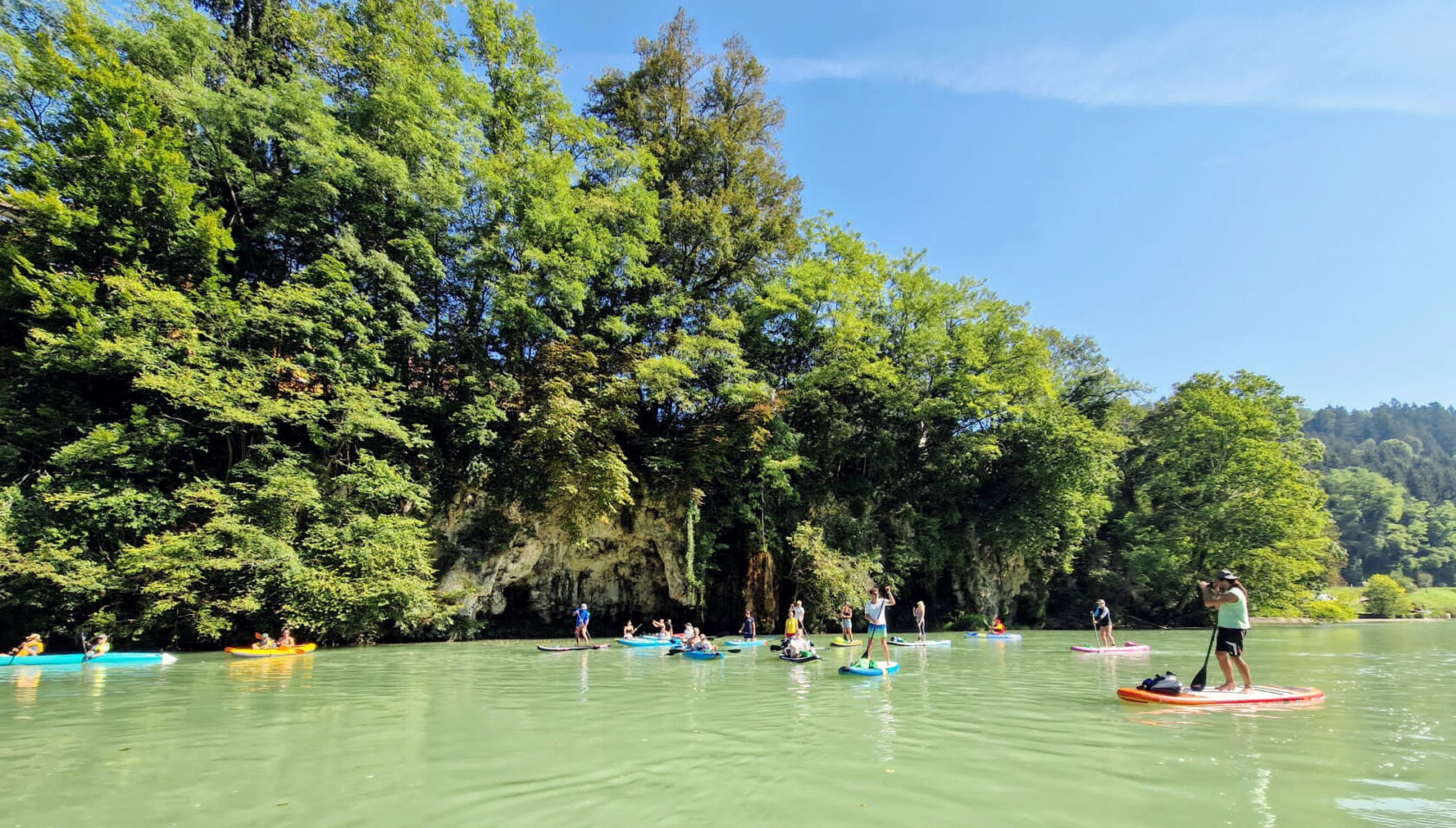
Just a few paddle strokes from Novigrad, Istria's longest river meets the Adriatic Sea in a biodiverse delta, where stand-up paddlers experience a water triumvirate of river, lagoon and sea.
General information
- Novigrad tourist information
- Istra tourist information
- Istra Card
- Novigrad Wikipedia
- Istria Wikipedia
- Climate
- Wind, waves, weather
Navigation rules
The beaches around Novigrad are very popular and accordingly there are enough swimmers in the water - they have to be avoided and given priority. The same applies to the motor boats, yachts and taxi boats along the route. Ships are not to be expected, but of course they have priority.
The bird sanctuary around the Mirna Delta should be enjoyed with respect. Please do not leave any rubbish, be quiet and do not step on the protective reeds along the banks!
Dangers and risks
Depending on where you put your SUP in the water, the shore can be rocky or bricked. So be careful and wear swimming shoes with appropriate soles. Also keep a sufficient distance from piers, quays and other water structures.
The swimming areas are marked off with ropes, but always keep an eye out for bathers!
Wind can sometimes come up suddenly and make paddling difficult, so always check the weather forecast beforehand.
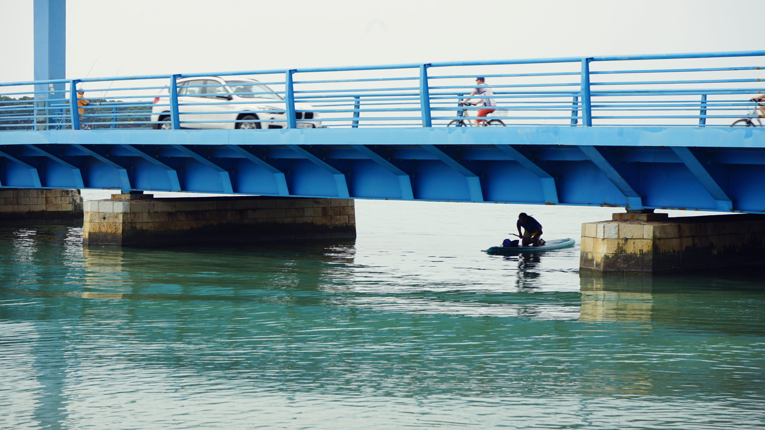
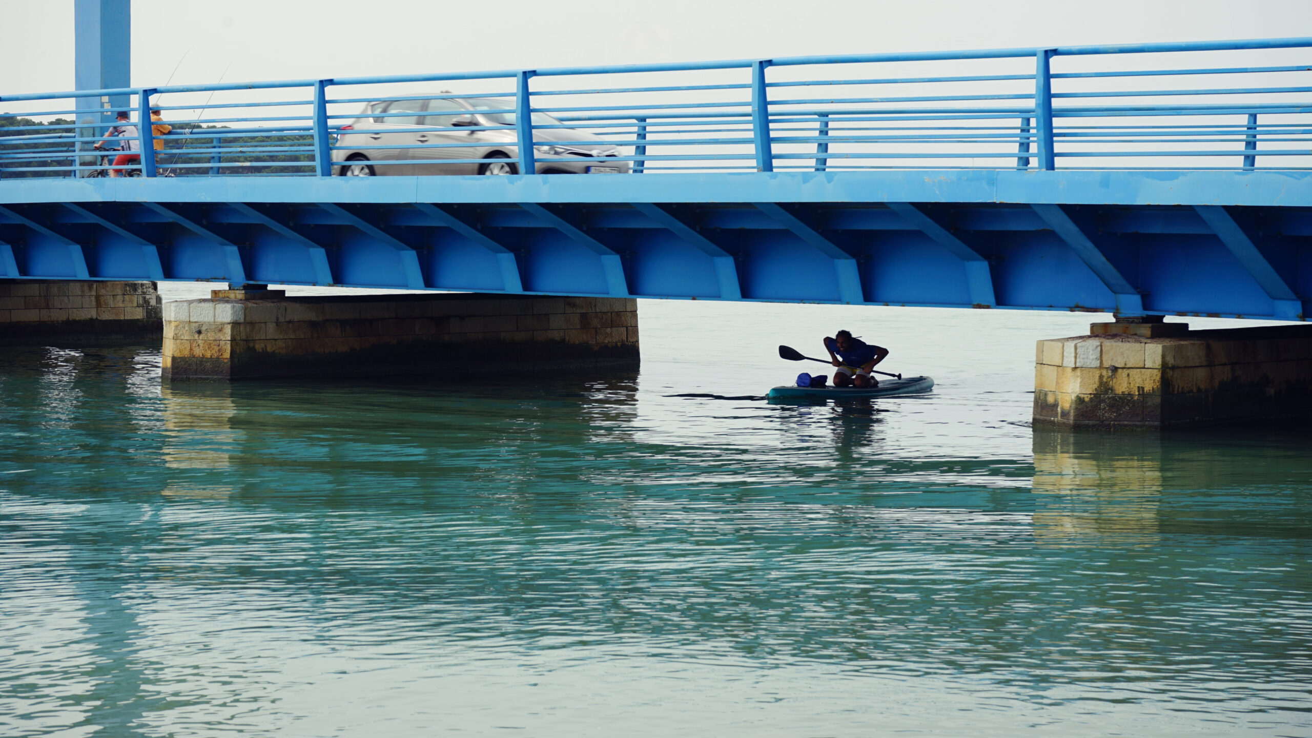
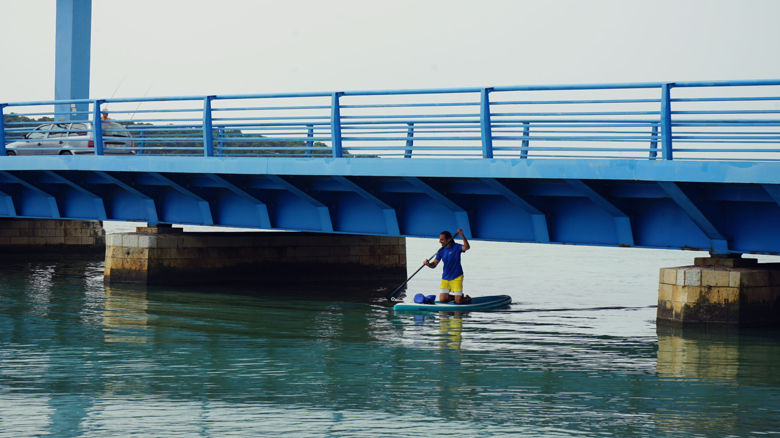
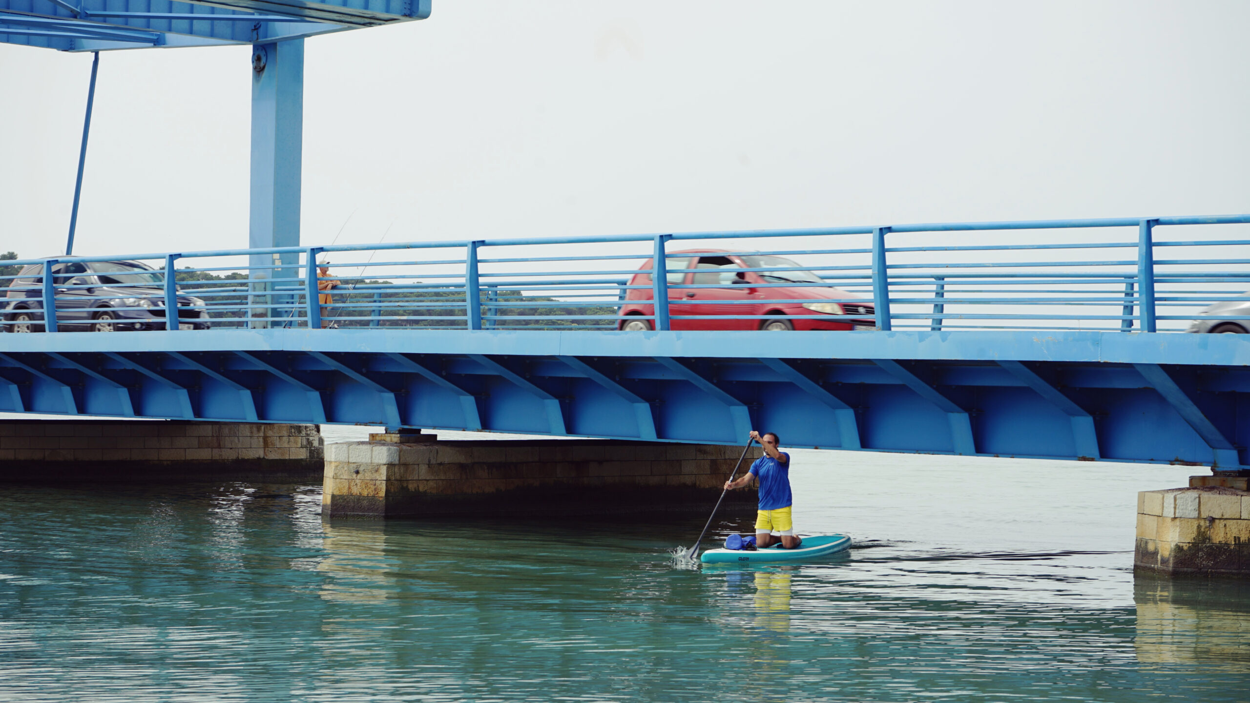
Be careful under the bridge over the Mirna dam! To get under it you have to kneel down and duck your head. The bridge to the left basin can only be crossed lying down anyway. There are iron spikes extending down to the water and making the whole undertaking more difficult. Be careful not to get caught on them.
There are often fishermen in the area of the dams and bridges, sometimes with more than one fishing rod. Be careful and paddle around as far as possible!
Depending on the tide, the water level in the basins can be very low, so you can get stuck at least near the banks.
If you paddle close to the quay of the quarry when there is a strong southerly wind, be careful not to be pushed onto the quay by the wind.
Directions
From the north, roads from Slovenia and Umag lead directly into the town and to the parking lot at the port.
There are also two access options from the south of Istria: The road from neighboring Poreč leads through the hinterland and along the southern Mirna basin to the parking lot in the center, with the turnoff to the Aminess Hotels just before it.
If you are coming from further south, for example from Pula, take the E751 motorway and drive across Istria.
Novigrad's central bus station is located just outside the old town center, but not far from the port on foot. Regional and national buses arrive here.
Public transport connections to Novigrad or at least the surrounding area can be found on Omio and Busbud. From the center you walk to the starting point of this paddle tour in decent time if you carry the SUP in your backpack.
Parking
Guests of the Aminess complex (Hotels Maestral and Laguna, Sirena Camping) can of course park in the hotel car parks or at the campsite. Otherwise, you have to go a little further into town in the narrow streets to find a parking space. Behind the soccer field is a particularly good place.
The parking lot in the center is a little further away. From there it is only a few minutes walk to the water. You can either start somewhere near the harbor or go to the south bank of the old town.
Swimming
Novigrad's most famous bathing beach - Karpinjan Beach - stretches north of the town's center for about 500 m in length, with the longest section being a stone and pebble beach and the shorter section consisting of concrete plateaus. The shallow shore is particularly ideal for children and the elderly, which is why it is usually very busy.
In addition to a wide range of sports facilities, bathers will also find gastronomy, sanitary facilities, parking spaces and shadowy pine trees.
In the south of town the Aminess beaches are overlooking the bay of Novigrad. The beaches are freely accessible to everyone and there are several bars and a restaurant. There is also a fun & beach zone with large pools at the Bar Punto Mare. You will also find a water park in a small bay at La Gradela.
The average water temperature is impressive all year round: in summer it is 22 – 24° C, in late autumn and spring it is still around 18° C. Even the coldest months still measure around 10° C, which means you could also dare to cool down after a winter paddling tour, as long as the notorious fall winds (Bora) do not trigger storm warnings.


Tour
From the Aminess Maestral beach to the mouth of the Mirna, around its estuary and back again.
Length
8 km
Time
2 - 3 hours
Start and landing
Along the Aminess Maestral beach in the south of Novigrad.


SUP rental
Jetski Novigrad
Kastanija 1, 52466 Novigrad
Phone +385 (0)91 604 2121
Jetski Novigrad
Kastanija 15, 52466 Novigrad
Phone +385 (0)91 604 2121
Belistra Water Sports
Livada ul. 13, 52466 Novigrad
Phone +385 (0)91 5228 810
PulaKayakRental
Mobile SUP rental in Istria
Teslina 30, 52100 Pula
Phone +385 (0)977 636 590
Still waters at the sea's edge
The longest river of Istria ends behind Novigrad in the Mirna Delta and can be reached from the town in just a short time. Depending on where you set sail with your SUP along the southern shore of Novigrad, you paddle between 1.5 - 3 km to the maritime end of the river, of which the last few kilometers before the sea are largely regulated.
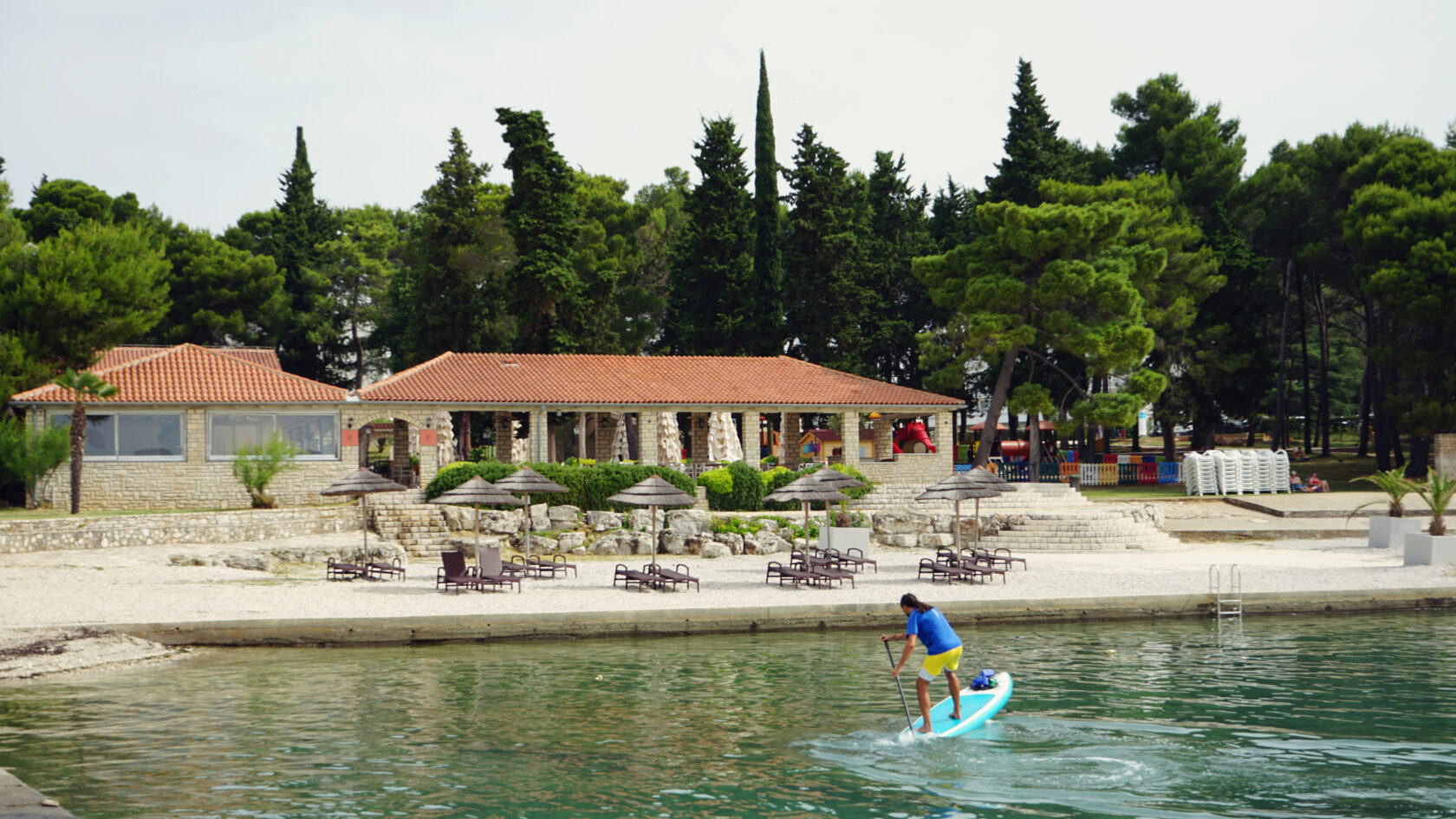
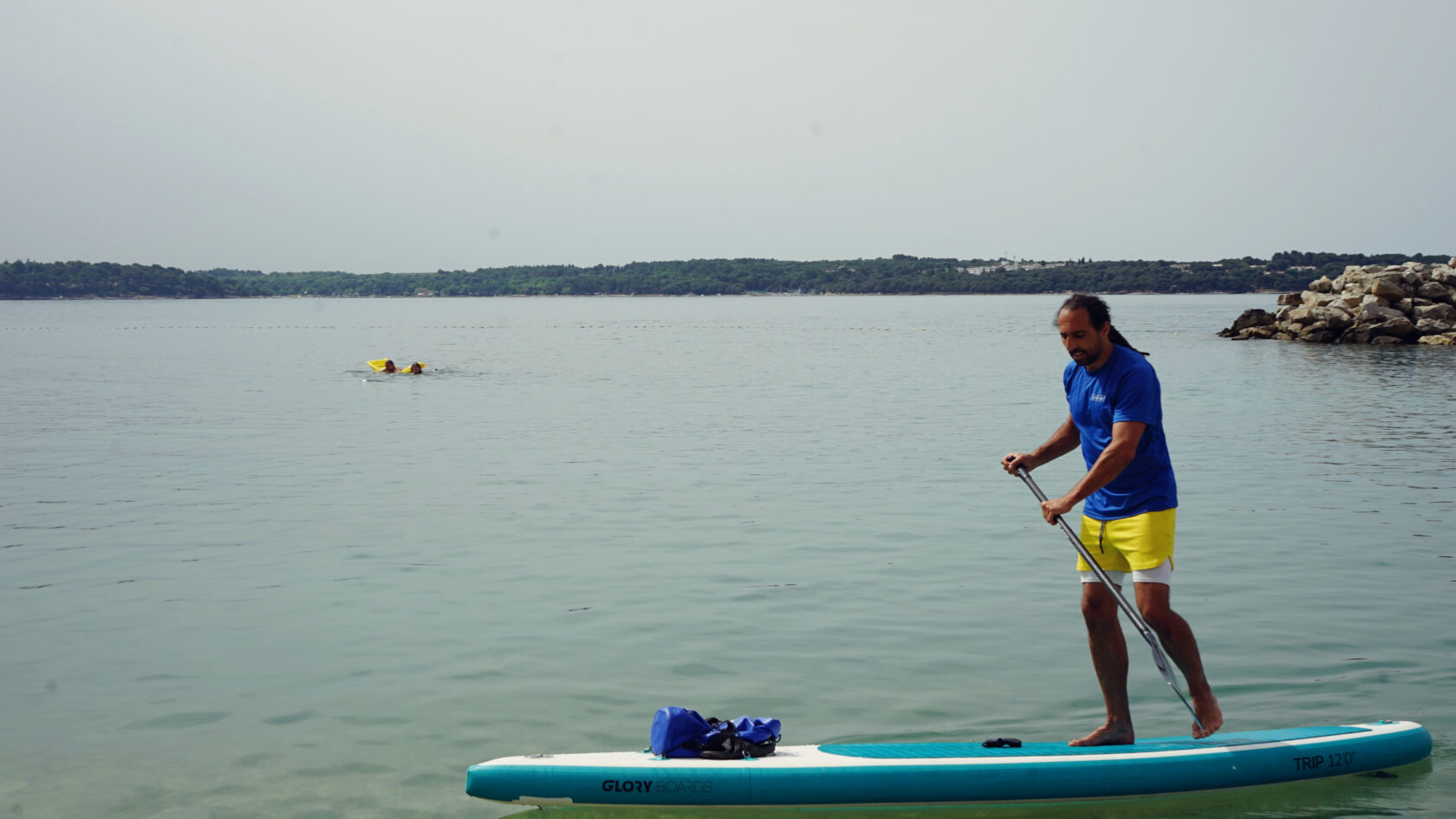
I start right in front of the Hotel Aminess Maestral, which I can highly recommend as a holiday accommodation, and in the morning I find an almost windless beach at the Punto Mare Beach Bar. The saltwater-filled infinity pool to my right already looks tempting, but first I want to explore the shallow basins of the Mirna, which I think are hardly deeper than the pool.
Life here on the shore is still very quiet, probably because many people are still sitting at the breakfast table or because the sky is unexpectedly overcast. But this does not dampen my anticipation, and so I paddle relaxed towards the quarry in the village of Atenal. Right in front of the hotel, the rental company Belistra has a hut on the beach at which SUPs can also be rented.


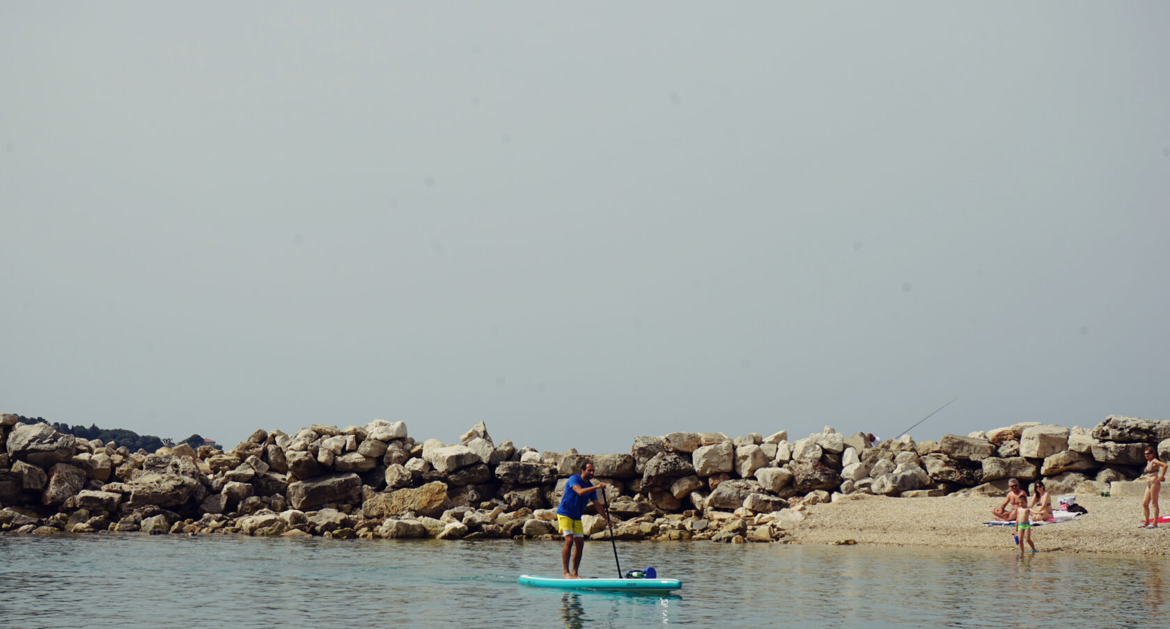
The first kilometer passes quite unspectacularly, but a gentle tailwind and light waves allow me to move forward without wasting energy. I manage a relaxing wave ride that takes me to the campsite and further to the quarry. I don't know if the quay is still in use, but it certainly seems to be a popular hotspot for seagulls. They watch me for a long time until I get too close to them and they flee in a great flock towards the sky.
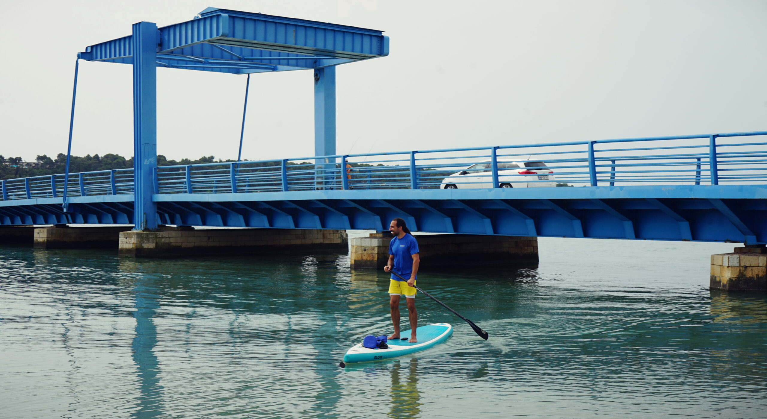
The blue bridge to the Mirna dam is already clearly visible and a fisherman has positioned himself on it with two fishing rods just to be safe. Anyone who wants to get under it to the Mirna and its two basins must now duck their head and kneel down. After the bridge, the water from the sea meets the water from the Mirna and small turbulences can occur. To my left there is another, much smaller bridge leading into the left basin.
After intensive internet research, asking the local tourist office and the statement of a fisherman here, I was not able to find out anything about any navigation bans in this area (if you can prove otherwise, please contact us!). However, it is very possible that some fishermen claim the opposite, probably so that they don't have to share their fishing grounds.
With this in mind, I lie on my stomach to glide under the left bridge. Extreme caution is required here, as there are pipes and cables attached to the underside with iron hooks. These hooks can easily get caught on your clothes if you are not lying on your stomach.
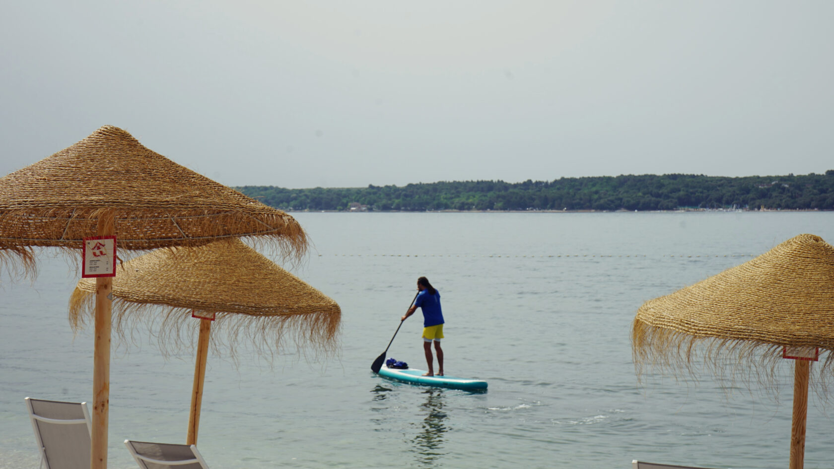
The two basins of the Mirna River delta are vital for the migration, wintering and nesting of various water birds. The entire area is an ornithological reserve and can be explored in detail, especially on foot and by bike. The list of different bird species is long: in addition to various stork and gull species, trained eyes can also spot honey buzzards, european rollers and short-toed eagles.
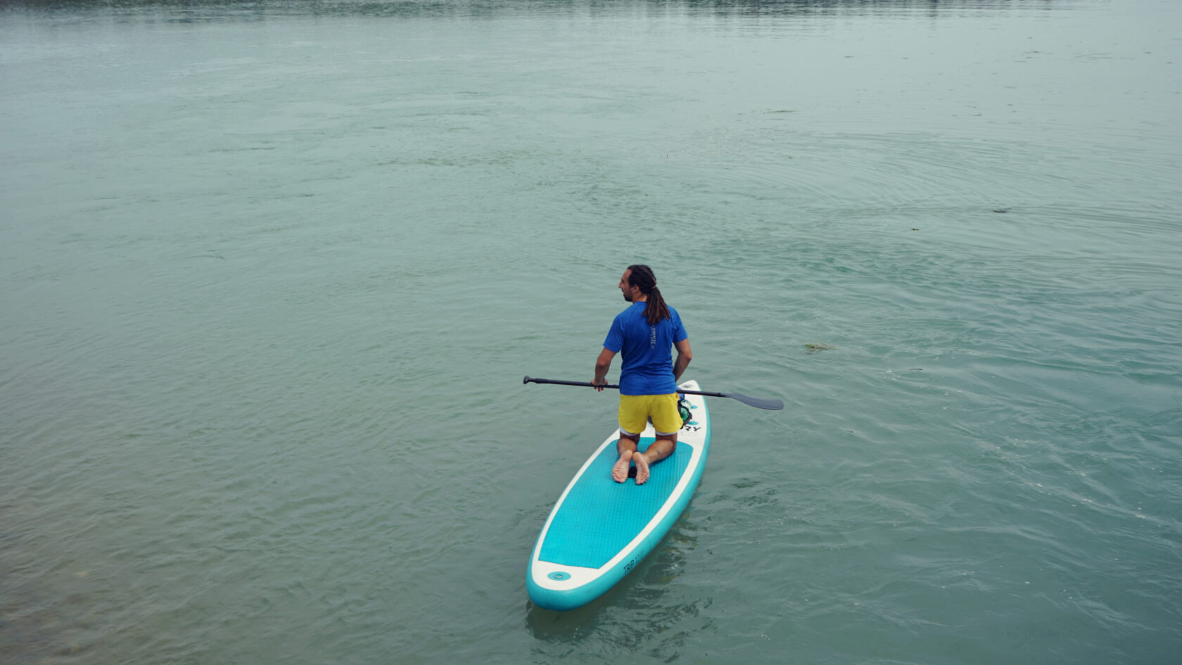
In the left and right basins, the water is actually not very high in the morning, but you can paddle in it. It is best to avoid the banks, however, so as not to get stuck in the clay and scare the animals in the reeds. People also like to fish here, so it is important to keep your distance. You paddle between salt marshes and reed belts in a contrasting landscape. You have just come from the more wavy sea and suddenly you are immersed in the silence of the two Mirna basins.
I also take a look at the right basin, which is particularly interesting because of the road that runs over the dam. There is the noise of cars on one side, and on the other side there is the sleepy reed and lagoon landscape. If you just want to paddle here and skip the sea, you can park your car at the small parking lot between the bridges, like the fishermen do. Otherwise, you go under the blue bridge again and back to Novigrad.
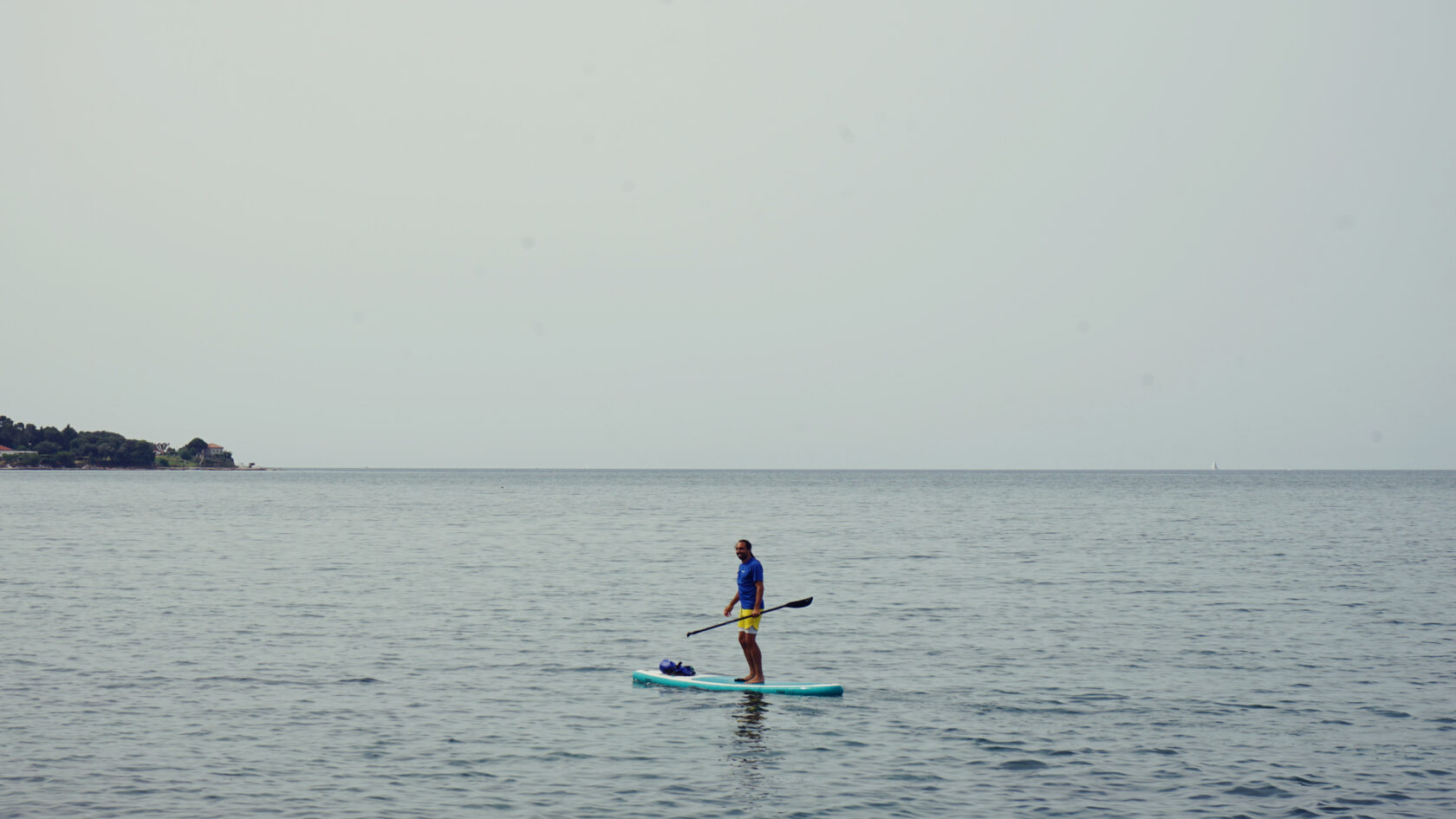
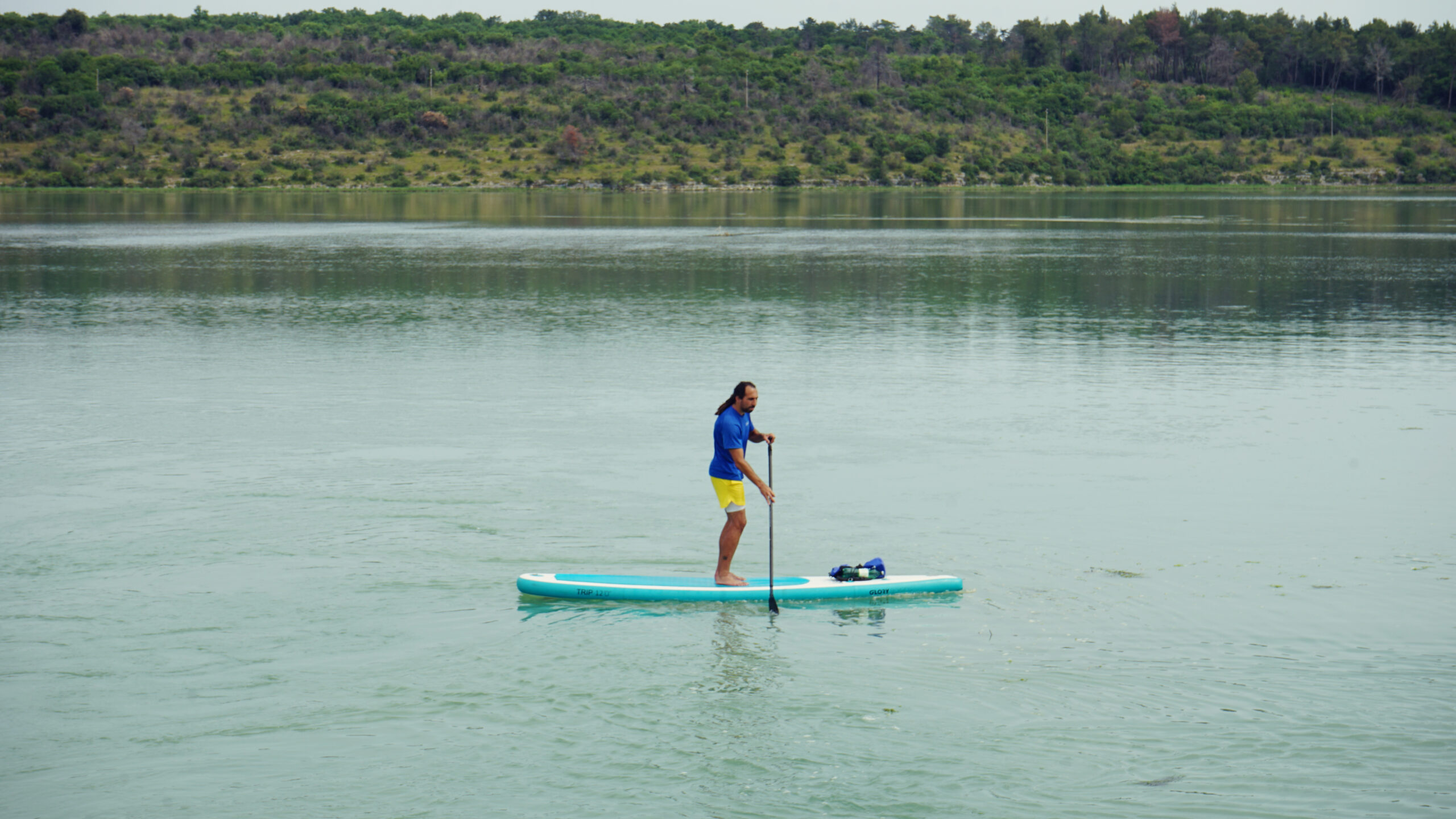
Meanwhile the wind has picked up speed, as it often does during the morning. The waves are now breaking clearly against my nose, but luckily they are coming from the west and therefore from the front. It would be more annoying from the side. And so I stay close to the shore to paddle the gentlest path and let my thoughts wander. If I were to paddle 100 km straight across the Adriatic Sea from here, I would arrive at the Venice lagoon - more precisely, at the island of Sant’Antonio di Pellestrina. A nice thought that gives me inspiration for more SUP adventures in the near future.
Lost in thought, I arrive back at Aminess beach after about two hours and watch the kids at the floating water park, where they are eagerly climbing, sliding and jumping into the water. I will do the latter now too, before the beaches start to fill up again.
Alternatives: If you only paddle along the shore and skip the Mirna Delta, this SUP tour is shortened by about 4 km. From the starting point of this tour or from the parking lot at the Mirna dam, you can also explore the entire bay south of Novigrad, which comes close to a tour length of about 9 km.


Leave a Reply