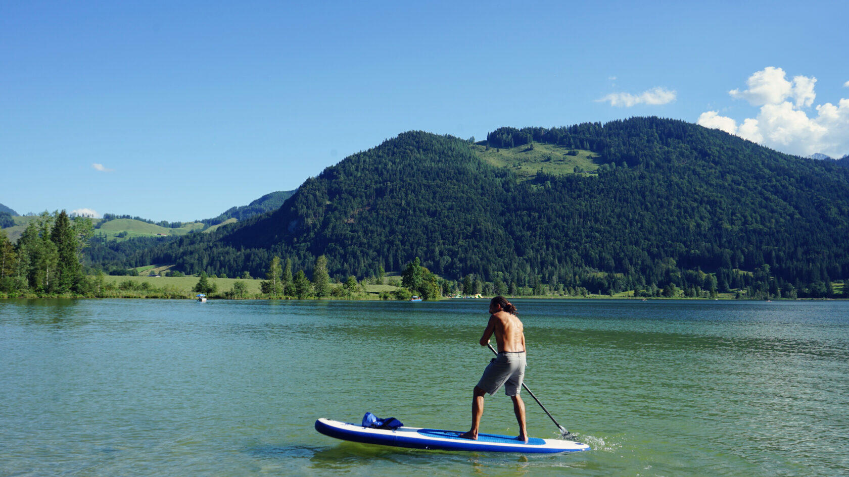
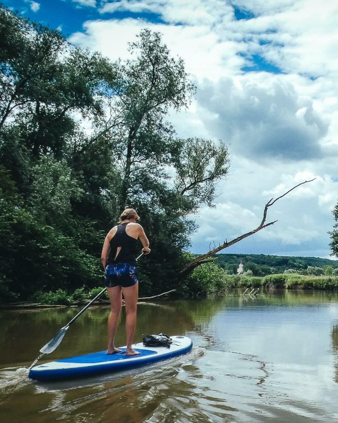
River Loop near Wernberg
Address
Drauschleife Wernberg
GPS
46.61972278981, 13.923926353455
Level of difficulty 1 | Gastronomy 1 | Length 3,8 km | Time 1 hour
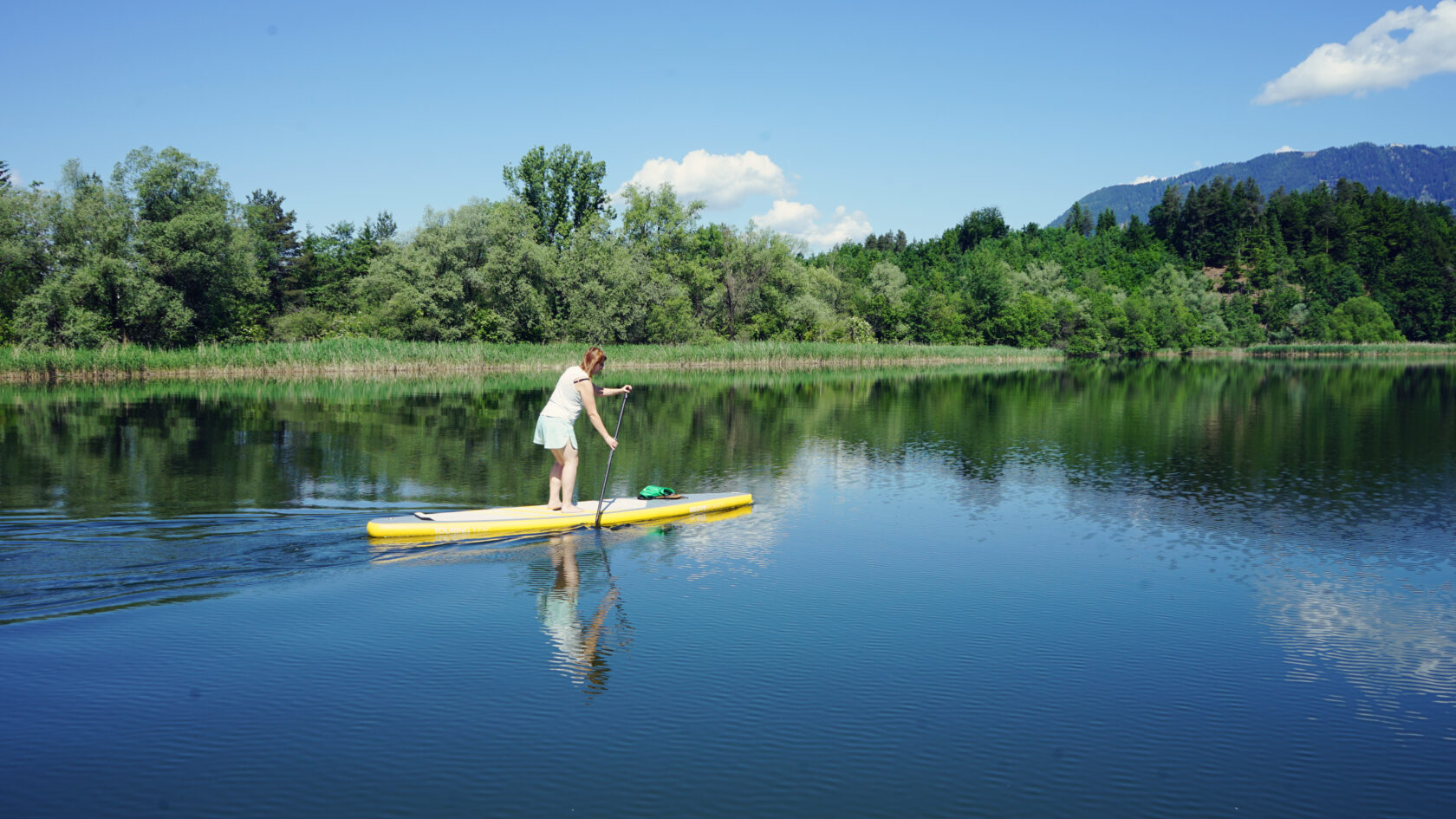
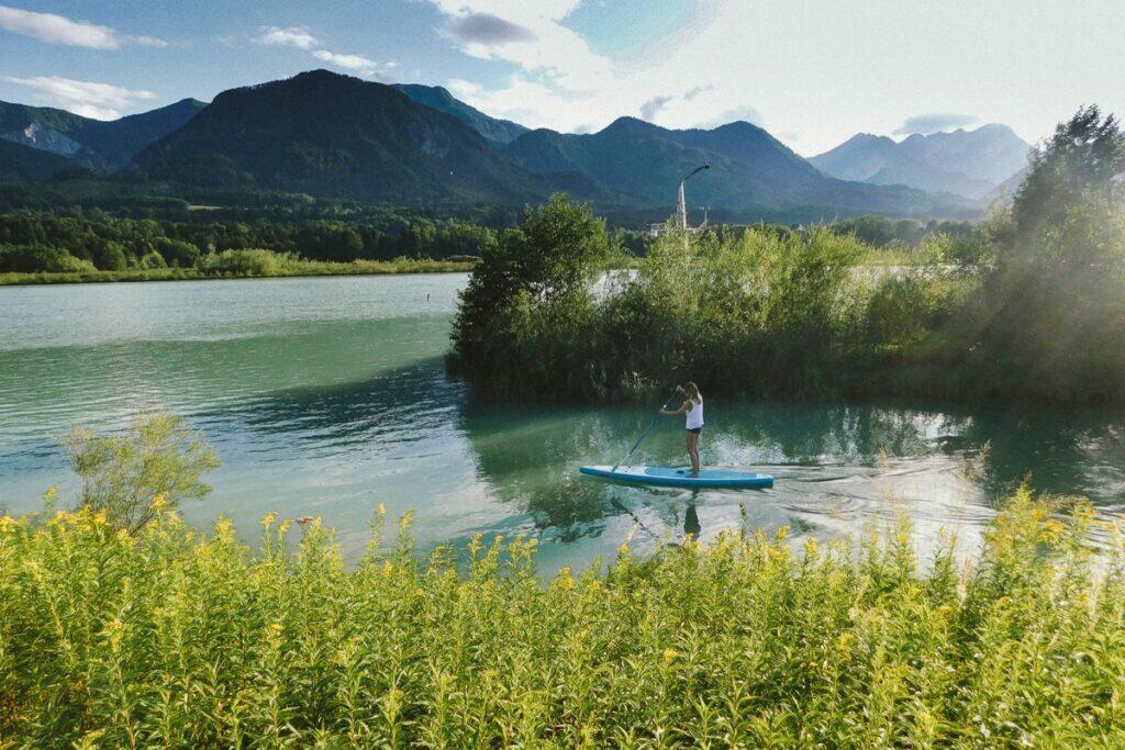
The enchanting oxbow river of the Drava offers a real SUP experience on still water. A fascinating mix of lagoon and floodplain landscapes impresses even well-traveled and experienced paddlers thanks to Caribbean colors and solitude.
General information
- KärntenCard
- Drava Wikipedia
- Villach tourist information
- Carinthia tourist information
- Tour Video
- Climate
- Wind, waves, weather


Navigation rules
There are various protection zones on the Drauschleife Loop, which means that there are a number of points to consider not only for fishermen but also for stand up paddlers:
Approaching the peninsula and the reed belts by SUP is only permitted up to a maximum distance of 10 meters. Furthermore, any motorization is prohibited.
During the night (10 p.m. to 5 a.m.) paddling and boating is strictly prohibited.
The “northern cliff” protection zone was expanded to a distance of 30 meters as a breeding zone for kingfishers. We recommend avoiding the floodplain landscape directly along the Drava because of the animals, or only visiting it briefly. In general, however, it is important to leave birds undisturbed throughout the area and to avoid the reeds, especially since they are a retreat for many animal species.
Pollution of any kind, camping and open fires as well as excessive noise are prohibited.
Avoid fishing boats and fishing lines as much as possible, as the Drauschleife Loop is primarily a fishing area.
Dangers and risks
Of course, fishermen, fishing boats and fishing lines can always appear, but they can be bypassed easily.
The water level is very low around the island and the peninsula, so you can get caught underground with your fins and be catapulted off the SUP board. Although this is not a major danger thanks to the low water level, it is possible to fall on old fishing hooks, old tin cans or sharp stones. It's best to glide up on your knees and keep a sufficient distance from the reeds, animals and the island (at least 10 m).
If the water level is sufficient, you can paddle under the wooden jetty on the southeast bank, but you have to make sure the fin doesn't cut too deep through the water. You can hook onto the stone formations below the water surface and then fall into the shallow water or onto the rocky ground. It's better to glide under the footbridge kneeling than crouching!
Anyone who decides to paddle out onto the Drava must expect a correspondingly stronger current, especially after days of rain.
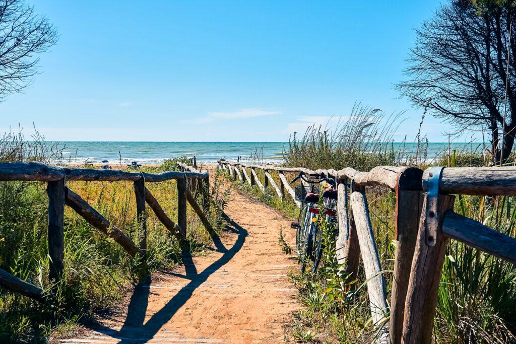
The Slow Trail runs directly past the parking lot and the bank and is heavily frequented by cyclists on nice days. Therefore, when entering and leaving the water, be careful not to get in anyone's way or even provoke a collision.


Directions
Stand-up paddlers optimally travel to the south bank of the Drauschleife Loop from Villach in a private vehicle.
The bus line 3 leaves from the main station in Villach and stops at its terminus in St. Ulrich (13 stops). From the bus stop in St. Ulrich you walk about 800 m to the southern bank of the river loop.
National and international bus, train and flight connections can be found via the comparison portals Omio, Busbud as well as RailEurope. If you arrive by plane, you will either land in Klagenfurt or Ljubljana – the closest airports in the region.
Parking
There is plenty of free parking space under the motorway bridge of the A 11 Karawanken Autobahn and along the gravel path opposite the jetty.
Swimming
The Drauschleife Loop is fed by the water of the Drava, but as a still body of water this oxbow lake naturally heats up significantly more. You can swim here without hesitation, especially since there are countless water accesses along the Slow Trail.
Swimming is not recommended in the cool Drava. However, it is possible in weak currents. If you decide to dare to do it, please only stay near the river bank!

Tour
From the jetty in a U shape to the other end of the river loop and back again.
Length
3,8 km
Time
1 hour
Start and landing
Anywhere along the jetty of the southwest bank.


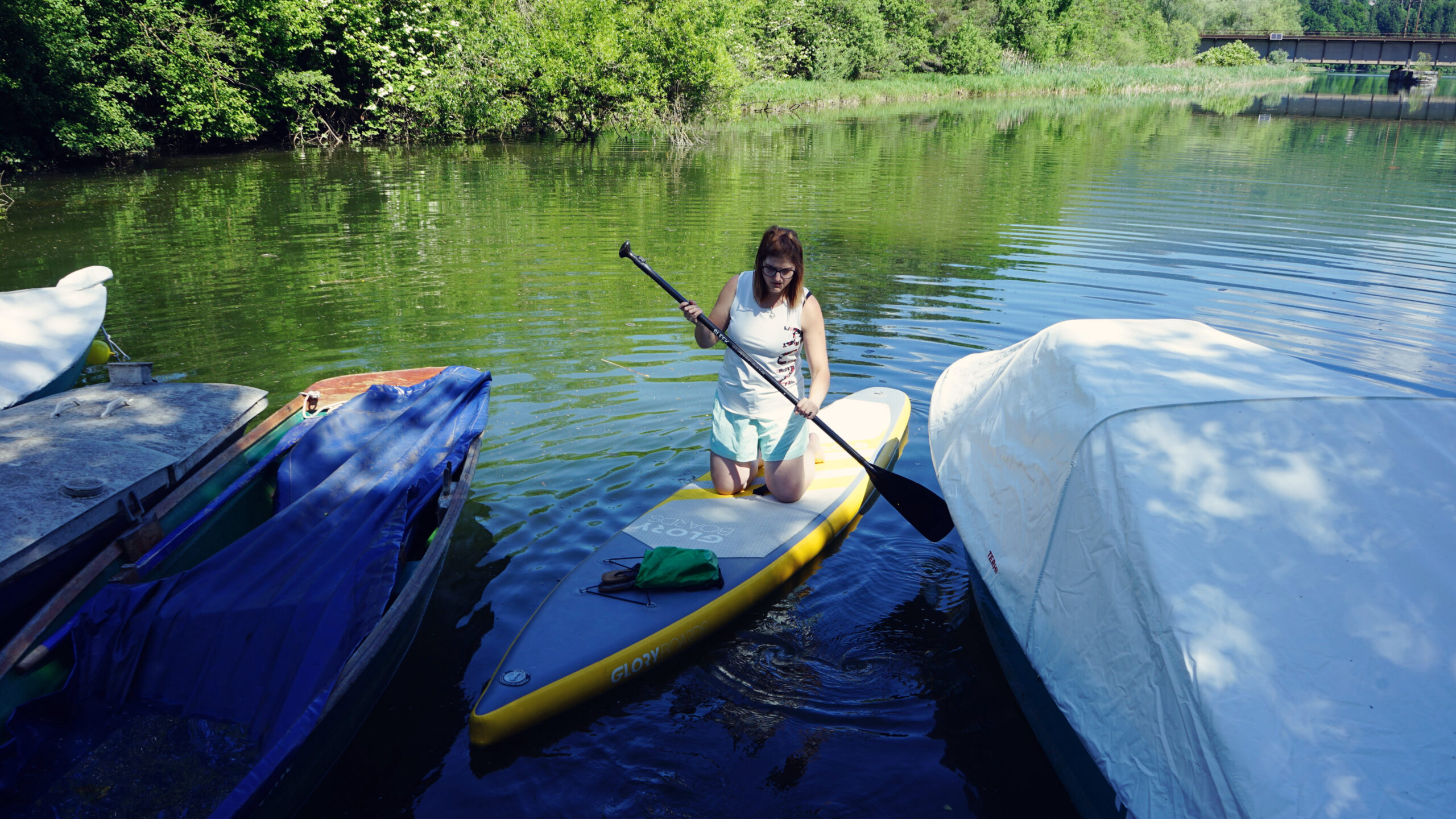
SUP rental
Draupaddelweg
Dahlienweg 14, 9161 Maria Rain
Phone +43 (0)463 2032 30100
Fels & Wasser
Flurweg 20, 9524 Villach
Phone +43 (0)650 6161327
Click&Paddle Faak
Self-service machine at the reed meander
Discount code “SUPAtlas” for 20% discount
Bachstraße, 9583 Faak
SUP2GETHER
Mobile SUP rental
Am Birkengrund 26, 9073 Klagenfurt
Phone +43 (0)463 20323020


In the hidden fishing paradise
Sometimes you don't have to go far from your front door to find unknown natural paradises. That's what happened to us with the dreamy oxbow lake of the Drava River in the east of Villach. While searching for unknown paddling spots, we suddenly asked ourselves the question that had never occurred to us before: “Could you actually paddle there?”
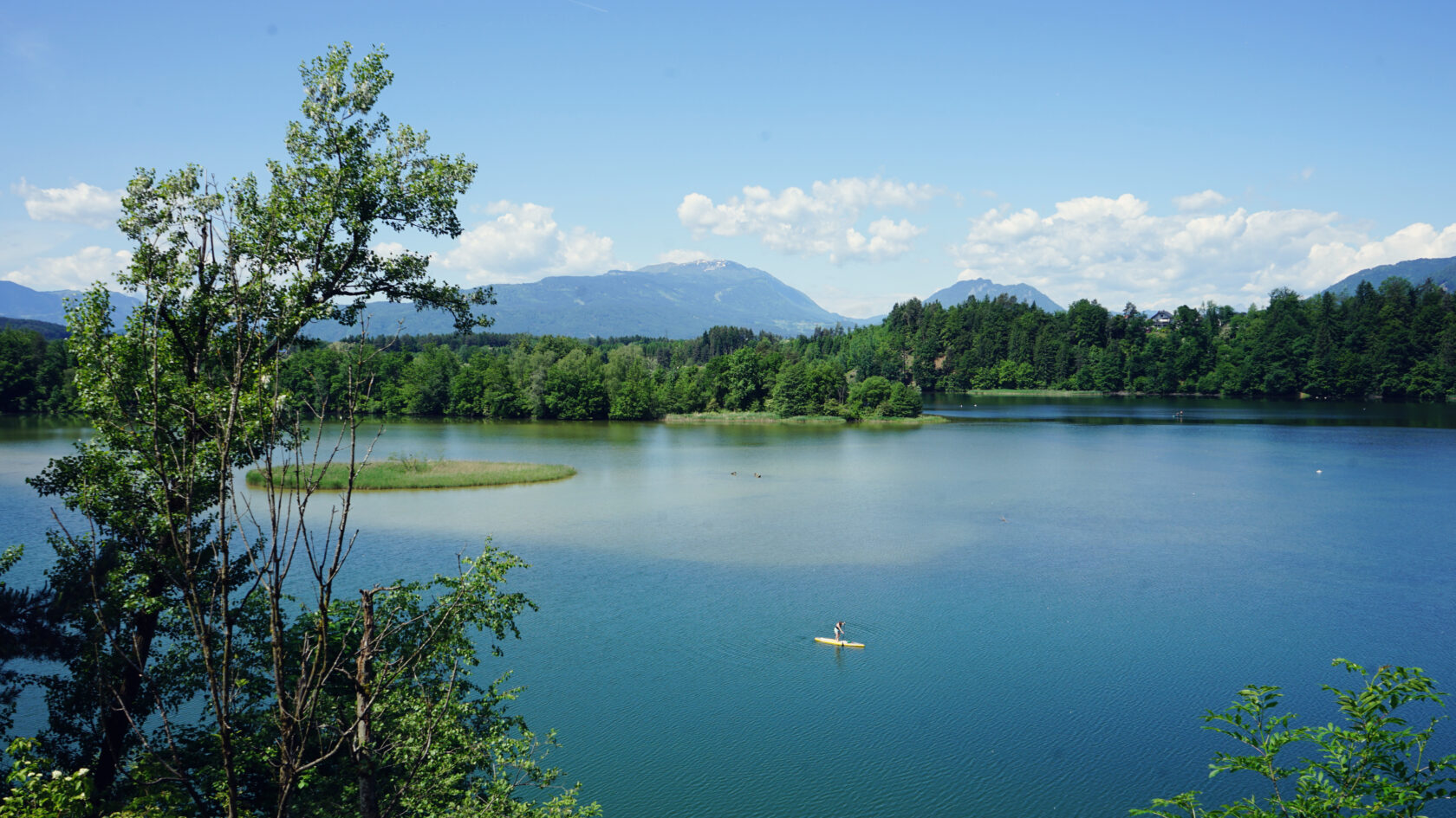
The Drava is already very well known to us around Villach, but unfortunately you don't notice from the river that there is a hidden fishing paradise off the bank with wonderful water colors and absolute silence. In the south of the horseshoe-shaped body of water, the A 11 motorway runs to and from Slovenia, and the railway line between Villach and Klagenfurt even runs a little over the water.
However, their noises are largely silenced in the labyrinth of riverside forests and a unique mini-territory spreads out in front of SUP adventurers. It is not only popular among fishermen because of its diversity in the water, but also among ornithologists because of its diversity in the air. Apparently around 130 bird species have been counted here so far.
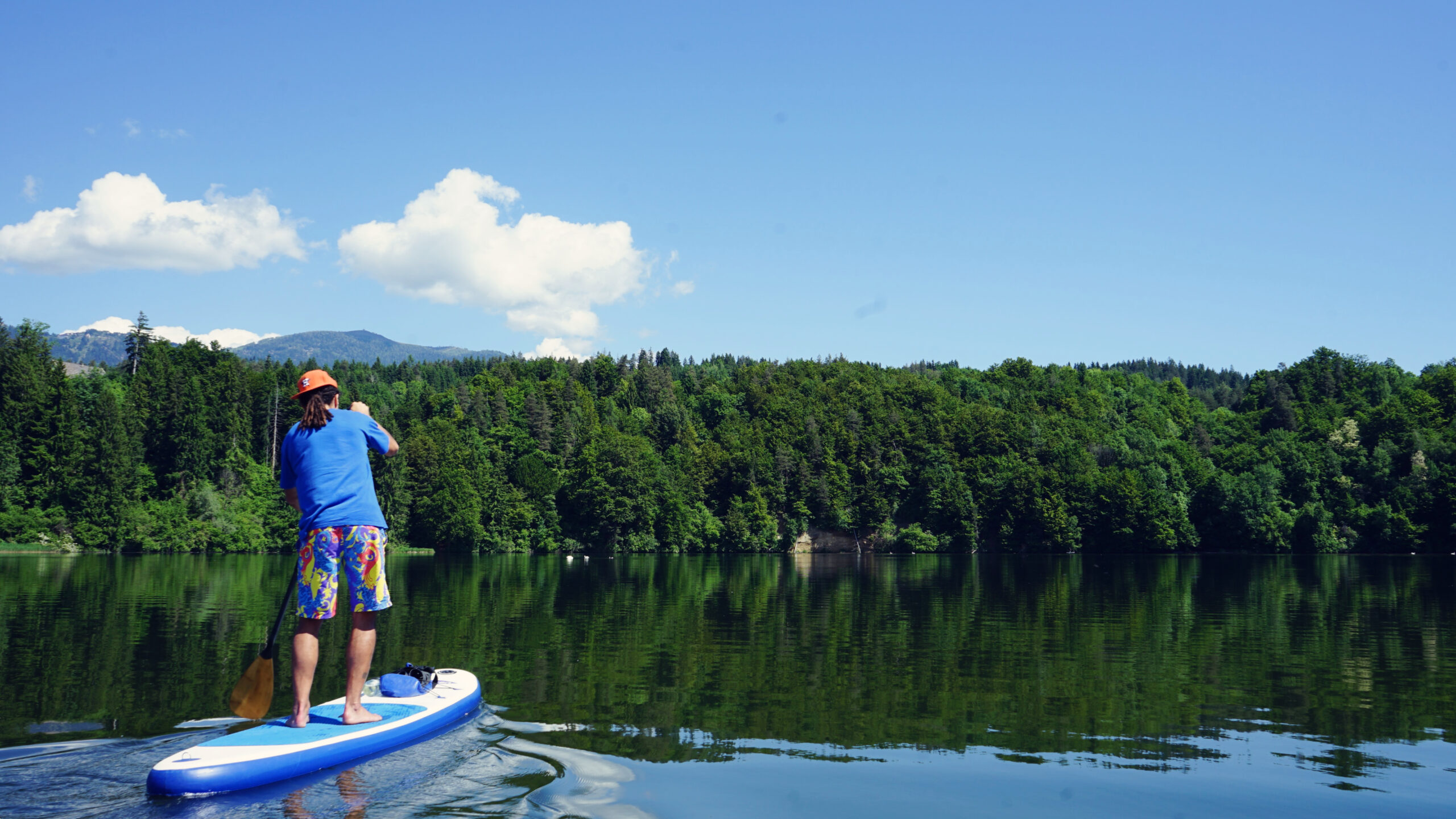
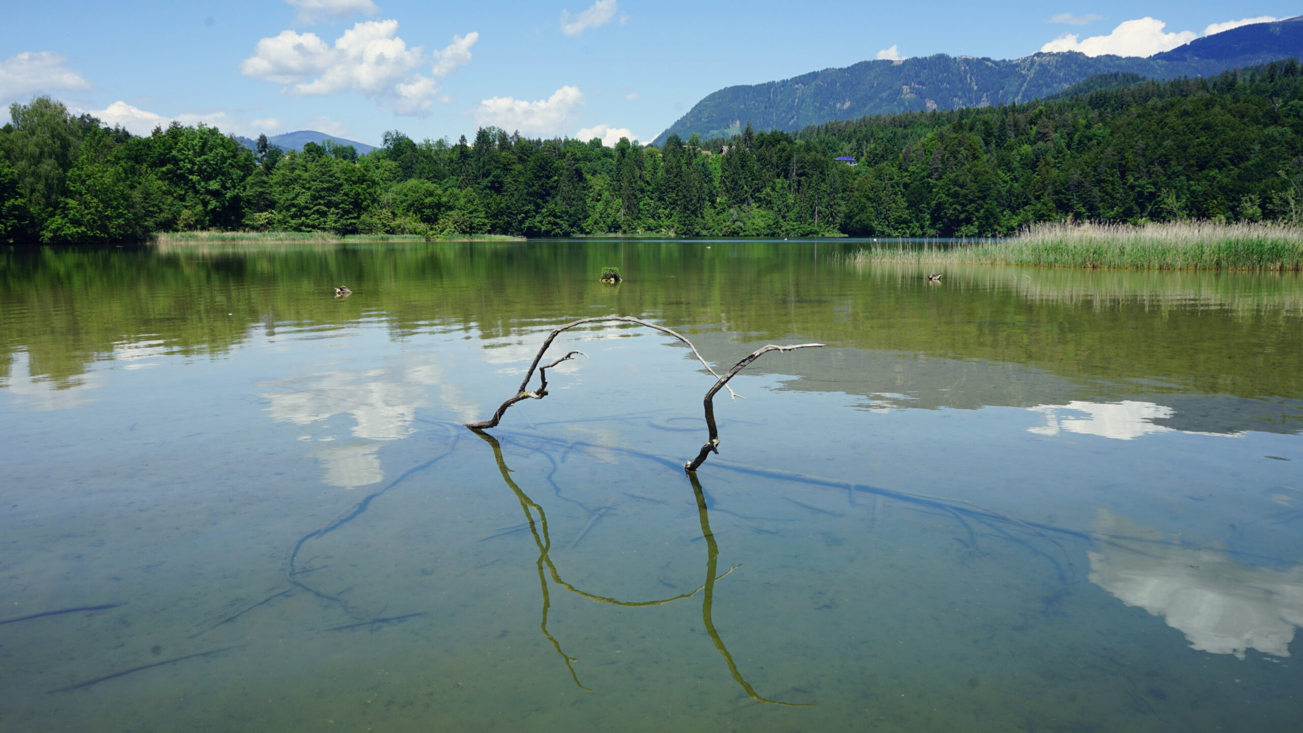
Meanwhile, we only count a few cars on the gravel parking spaces under the highway bridge and in front of the boat docks. Our boards are quickly taken off the roof rack and taken to the wooden pier. Our eyes wander over the motionless turquoise-green water and stop at Mt. Gerlitzen behind it. Encircled between the Karawanks and the Drava in the south as well as the mountains of the Ossiach Tauern in the north, the Drava Loop lies right on the border between the urban area of Villach and Villach County. The water is a bit murky today, but you can clearly see the bottom, and in most places it is less than three meters deep.
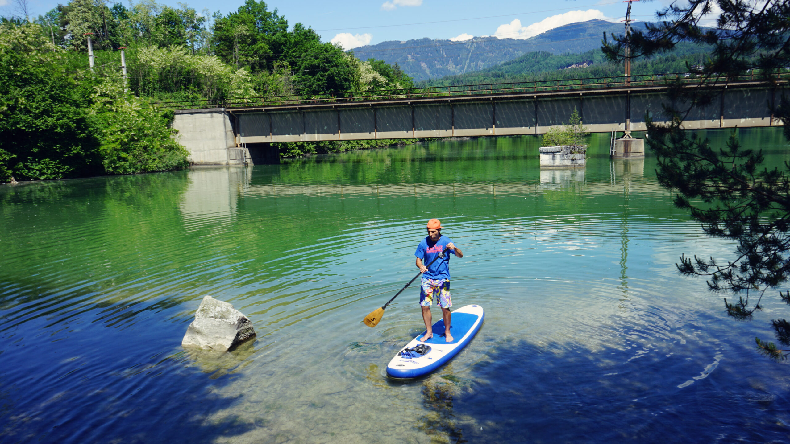
After just a few hundred meters, the noise of the motorway dies down and we already experience the first aha moment: in front of today's railway bridge over the water stand the former bridge pillars of the railway section between Villach and Klagenfurt, which went into operation in 1864. The hard-to-remember name of the operating company at the time was initially Imperial & Royally Privileged Southern State, Lombardy-Venetian and Central Italian Railway Company, er wurde jedoch im Verlauf der Zeit im Zuge einer Firmenfusion auf die einfachere Bezeichnung Südbahn geändert.


When the old railway tracks were removed and replaced by a new bridge in 1959, part of the bridge pillars remained standing and can now be admired by us. The impressive thing about them is neither the architecture nor the special beauty of the bridge skeleton, but the fact that coniferous trees have grown up from the pillars over the years. It's amazing that even on seemingly barren ground like stone bridge pillars, steadfast trees can take root.
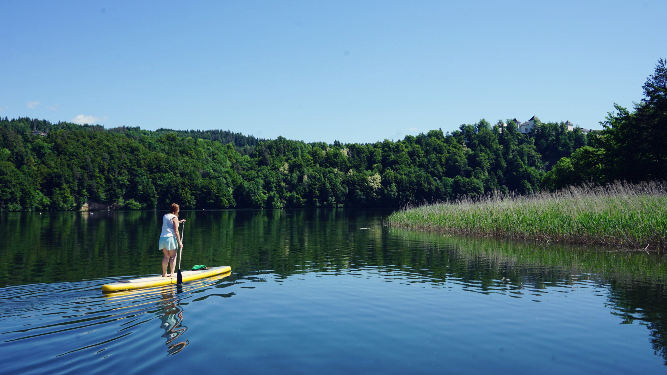
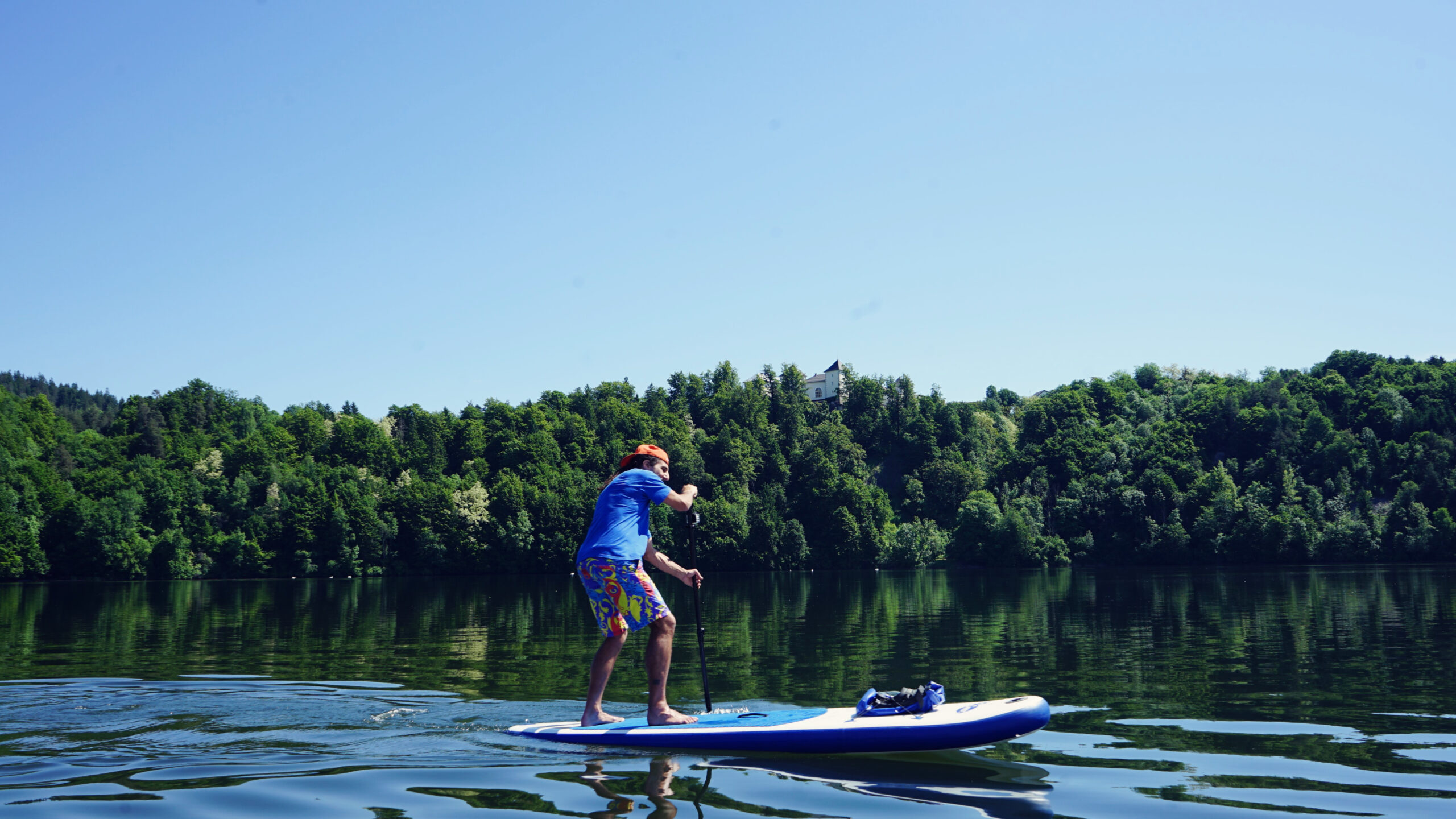
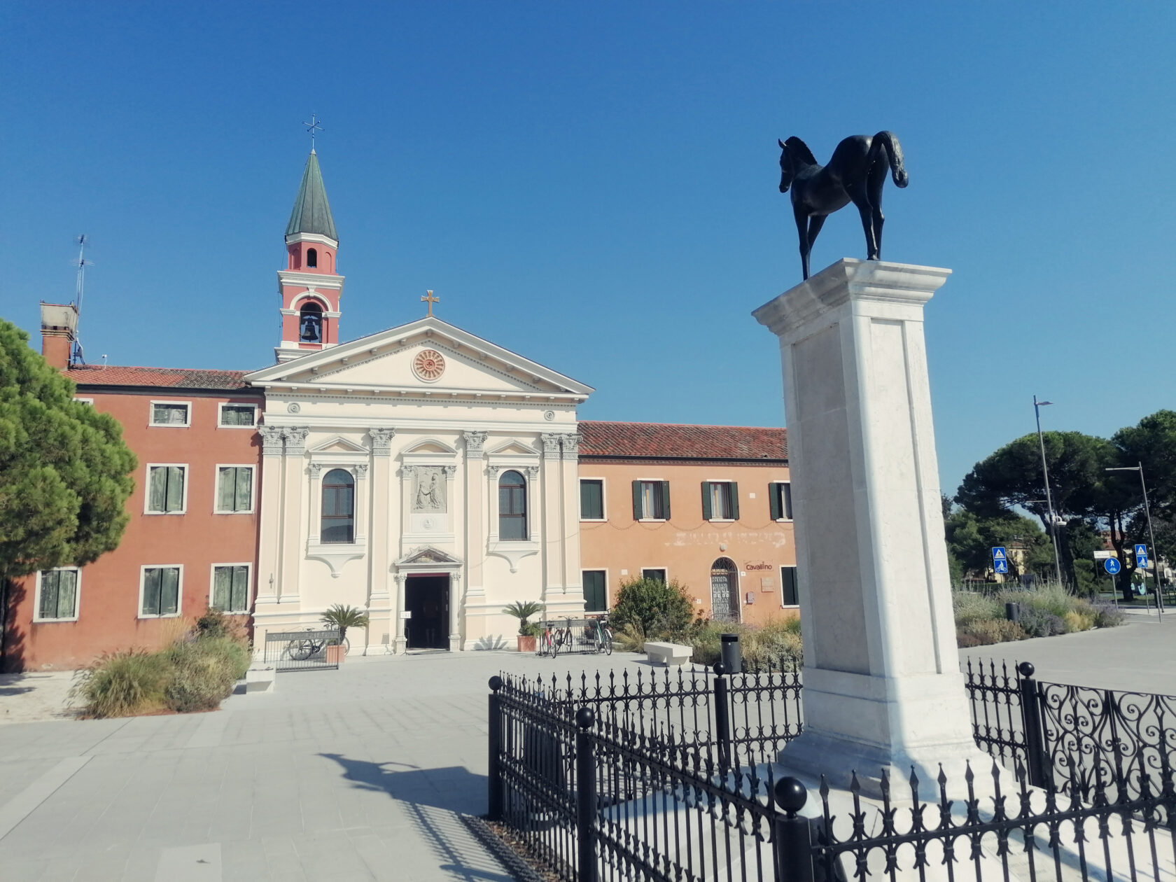
In general, the entire area around the river loop is a true natural attraction, as there is also a slow trail coming from the Wernberg Monastery and running along the banks of the stagnant water. The hiking trail runs through the forest and offers nice viewing points and seating in several places. If you just want to walk this route, it's best to drive directly to the 13th century monastery and follow the signs down to the water.


From our position we don't see this trail yet and instead we focus our attention on the reed belt along the tranquil peninsula to our right. In the distance we spot a few fishermen in their boats, but we can paddle around them in a big circle. As we leave the reed belt behind us and align our SUPs with the dominant wall on the north bank, the Wernberg Monastery suddenly rises to the right, sixty meters above the water. At least as impressive are the water lilies, which have formed a pink-purple carpet and are rooted in the shallow northern bank.
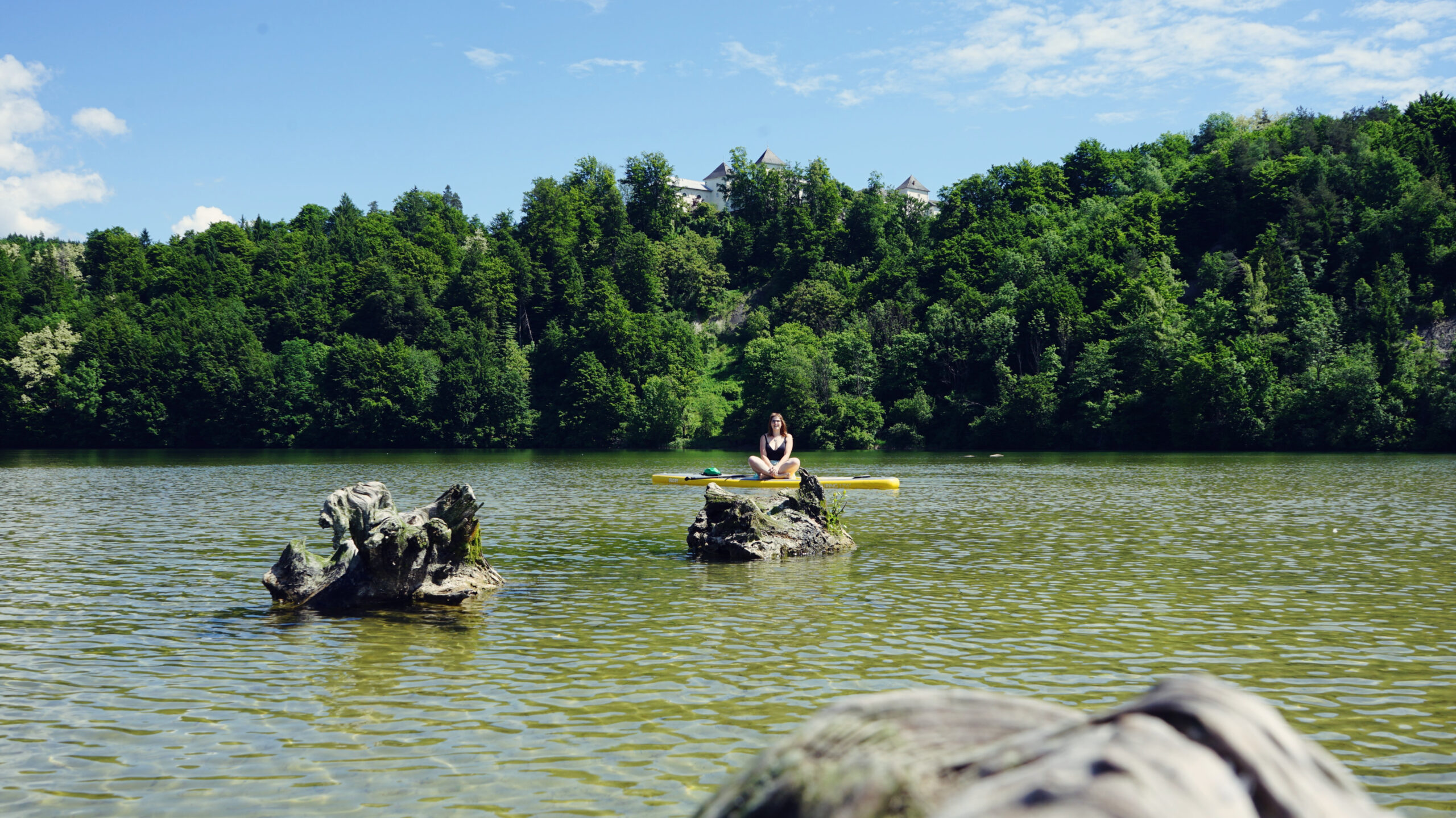
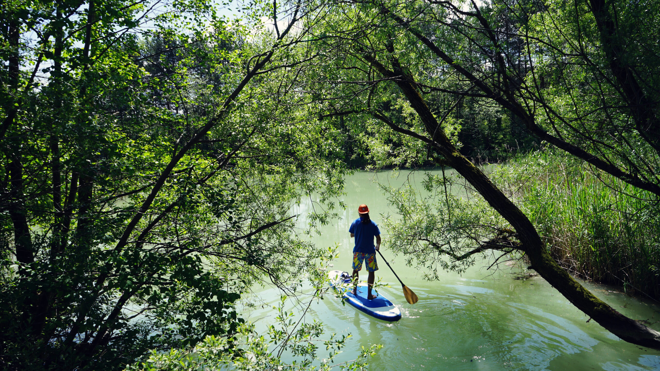
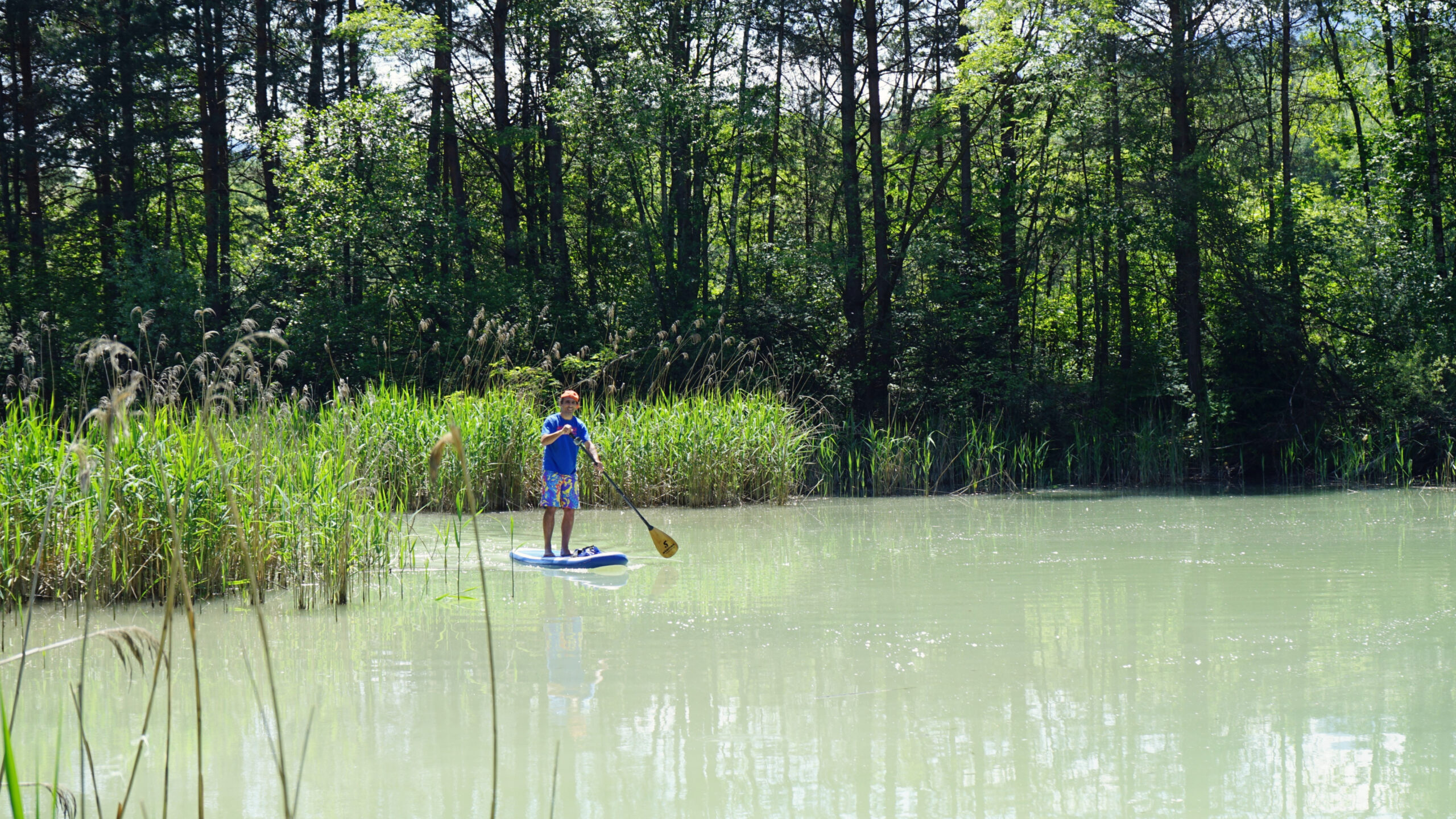
We paddle a little along the north bank and keep enough distance from the northern cliff, as it is protected as a breeding zone for kingfishers. Since you are required to stay at least 30 m away from the shore anyway, we follow our curiosity, which calls us to the tiny reed island. On the way there, the water becomes clearer and shallower until our fins get stuck in the clay bottom and almost shake us off the board with a gentle tug. But that wouldn't be a big deal since we want to get off anyway and enjoy the romantic peace and quiet in the middle of the water.
We experience a mixture of maritime lagoon landscape and alpine emotions, because the sight of the Karawanks Mountains with its dominant Mt. Mittagskogel invites us to dream. We don't paddle over to the reeds, we just stick to the tree stumps so as not to disturb the nesting birds in their habitat in the middle of the island. So we give them about 50 m distance and they don't seem to notice our presence.


On the way south we paddle over three car tires lying in the water, a sign that there are still too many shameless nature ignorers in this world. Unfortunately, probably very considerate fishermen have gotten rid of their drink cans here. Fortunately, at the other end of the horseshoe-shaped water we are again rewarded with beautiful views. Here we can also marvel at old, wooded bridge pillars and discover a small wooden footbridge in front of us under which we can just paddle through.
On its other side, paradise lies at our feet. Since the Drava delivers its turquoise water directly to the Drauschleife Loop near here and floods the entire area, a uniquely nested floodplain landscape has emerged. The satellite image clearly shows how extensive this water labyrinth is, and if you want, you can retreat there for a few quiet moments or paddle out to the Drava. Both have their charm, but we appeal to everyone to only stay here for a short time so as not to disturb the animals. The best thing, however, is that we get to experience all these places of power again on our way back to the jetty before we strap on our boards and head home.


Alternatives: You can also just paddle one length of this tour, for example by paddling from the jetty in the southwest over to the floodplain landscape in the southeast. From there you can then walk back to the car (approx. 400 m).
You can also continue paddling on the Drava and, for example, land in the village of Sankt Niklas after 1.7 km. If you want to cover more kilometers, your next stop could be the Rosegg – St. Martin power plant (6.5 km) or you paddle even further along the river.
You can find many more SUP tours on Carinthian lakes in the SUP Guide Carinthia.


5 responses to “Drauschleife bei Wernberg”
-
Hi, I was doing this tour yesterday and the water is quite dark brownish, probably too still, I would not swim there.
On the north side, next to large rock wall, there is fresh water stream to refresh.
Also, one fisherman told me this is protected area and you can not SUP there, you can get a fine.
-
Hi Lukas!
The brownish water is most certainly due tu the heavy rainfalls during the first two weeks of June.
I have researched and talked to quite a few people, but there is no indication for any prohibition to
SUP on this body of water. I reached out to the municipality office and even they did not forbid it.A similar case of fishermen telling me about prohibeted waters happened to me this week in Croatia. But again,
there are no indications to be found, paddling would be prohibited there. Actually one fishermen there even told
me, that there are no restrictions and it is public area (cars, bikes were passing by on the gravel road).Until I find any officail restrictions, this area is certainly one to paddle.
Best, Phil
-
Hello Phil,
Thanks for checking, good to know it is not officially restricted there as it is quite nice area for quick loop.
Very good web page here by the way, good job. I am new to the SUP and follow lake tours in Carinthia, later maybe some river but I have still respect to moving waters.
Cheers and paddles, Lukas
-
-
-
Hallo
Schöne Tour in ruhigem stehenden Gewässer. Gute Beschreibung.
Den Anglern am besten großräumig ausweichen, da einige keine Freude mit SUP haben, und ich schön öfter Diskussionen hatte ob man fahren darf oder nicht.
Und auch den erwähnten Brutplätzen sollte man nicht zu nahe kommen.
Ich glaube nur das man unter der Radfahrbrücken nicht hindurch bis in die Aulandschaft fahren darf, da es hier ebenfalls Brutplätze bzw. es Naturschutzgebiet ist.
beste Grüße
Oliver-
Hi Oliver,
Danke für die Info. War grad dort gestern wieder paddeln, alles stressfrei.
Uns kam nur eine nicht-fischende Familie im Ruderboot vorbei. Also SUP
ist dann, wie gesagt auch save.
LG Philipp
-
Leave a Reply