Sveti Marko Circumnavigation
Address
Sveti Marko
GPS
45.244349150827, 14.554224014282
Level of difficulty 3 | Gastronomy 1 | Length 4.8 km Time 1.5 - 2 hours
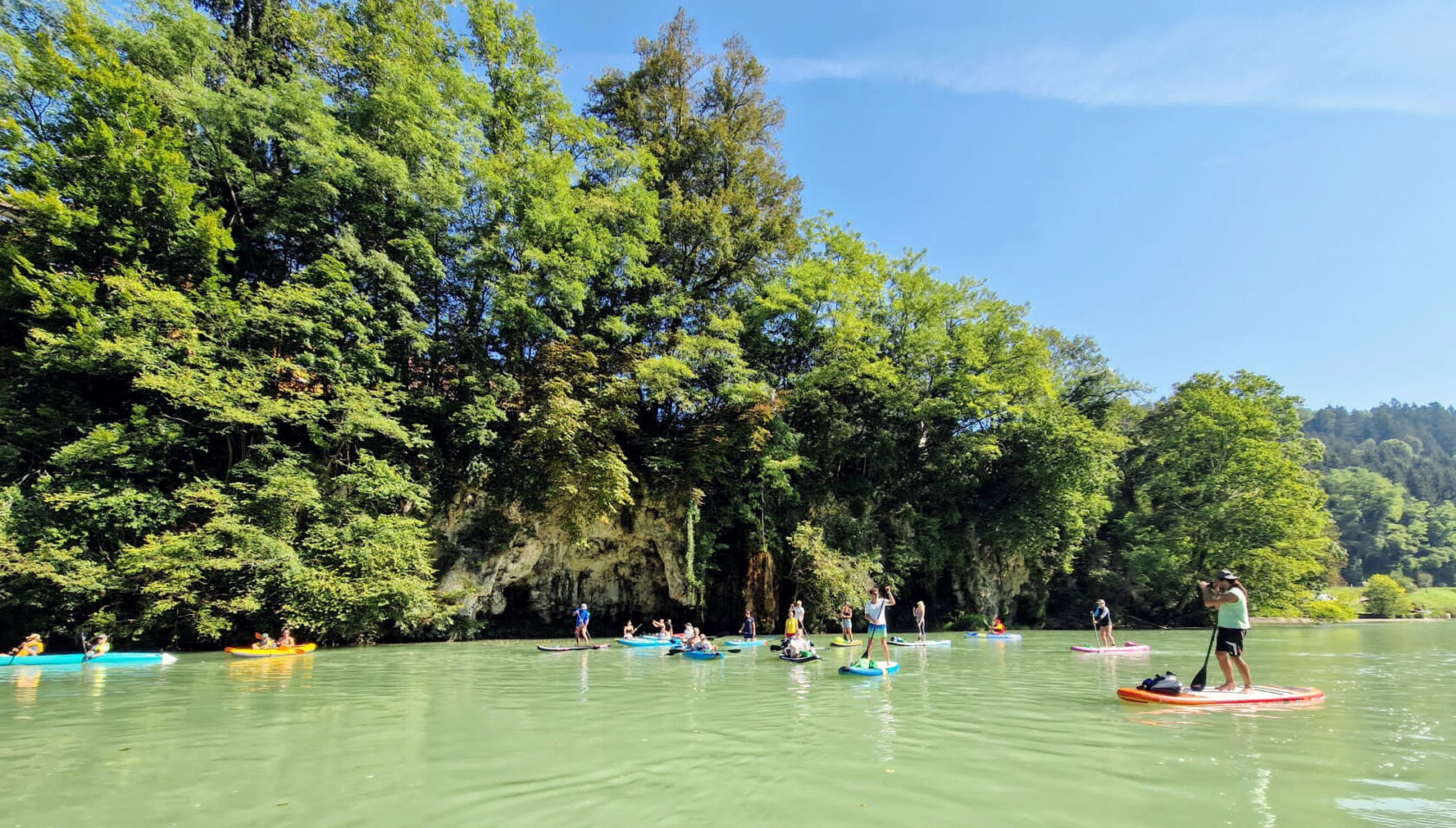
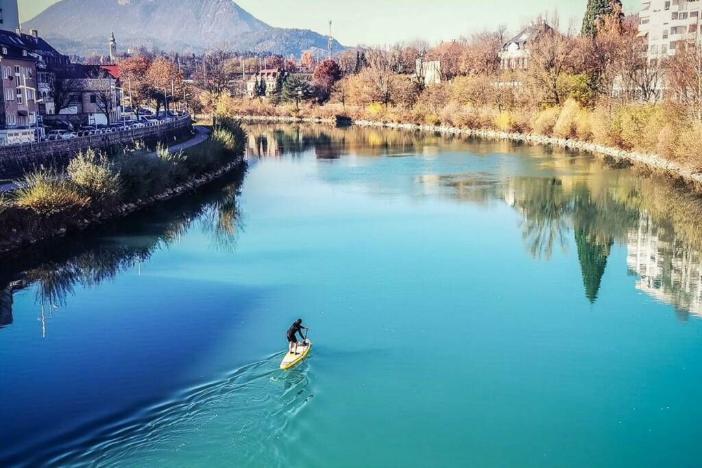
The small island of Sveti Marko is more than just a bridge support on the way to Krk. Circumnavigating it shows paddlers how diverse and lively a supposedly barren landscape can be.
General information
- Krk Island tourist information
- Omišalj Touristeninfo
- Krk Island Wikipedia
- Tour Video
- Climate
- Wind, waves, weather
Navigation rules
Boat and ship traffic as well as the rare bathers always have priority. Make plenty of room for the fishermen on land and on the water. If you stop along the natural beaches and on the island, please avoid leaving rubbish behind or take it with you.
Dangers and risks
On the road, please approach the last few meters before the exit slowly and put the indicator on the right. You should then be very careful on the gravel path and open the entrance gate wide enough so that it cannot scratch the side of your car. Please close the gate again immediately after driving through!
The banks along the SUP route are all rocky and have sharp edges. Therefore, be careful when entering the water so you do not injure yourself nor your SUP. Wear swimming or neoprene shoes!
Since the boat traffic on the water increases over the course of the day, you should plan to circumnavigate the island in the morning if possible.
Immediately after setting off, fishermen line the path around the small peninsula-shaped bulge. It is therefore advisable to stay at least 20 m away from the shore.
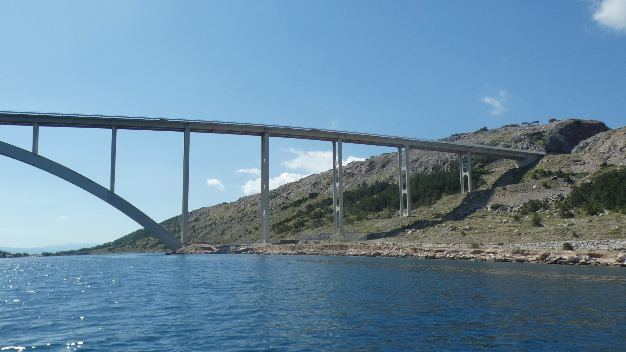
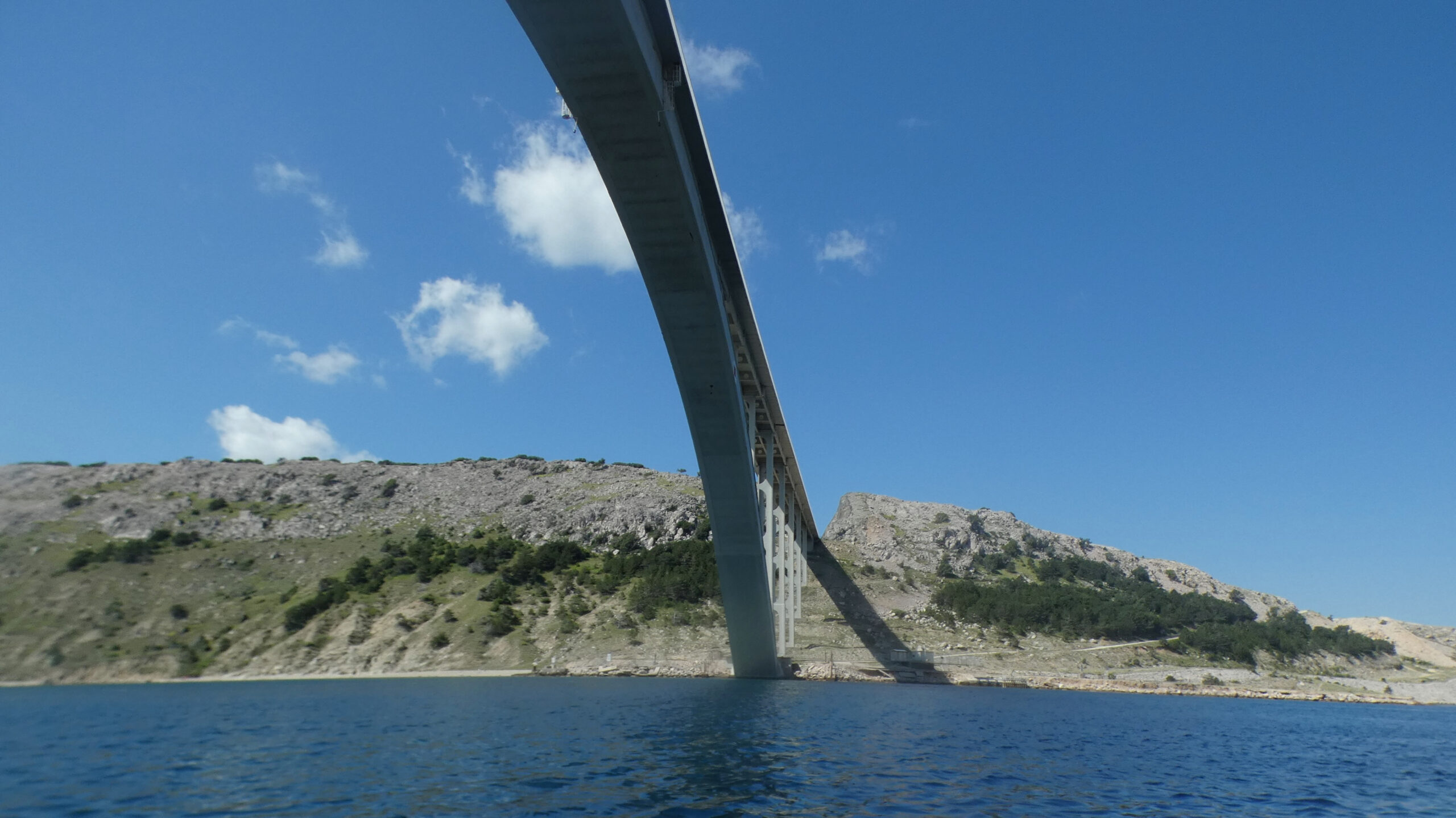
If you paddle between Krk and Sveti Marko under the Krk Bridge, wind and waves can get significantly stronger. The high rock walls of the islands act like a needle's eye, accelerating the wind. The wind then also creates more waves.
When passing the southern shore of Sveti Marko, you will easily be pushed towards the rocky shore if the wind is blowing from the south. For this reason, always check wind conditions beforehand and then keep at least 20 m away from the rocks.
Directions
If you are coming from the mainland by car, turn right at the first exit after the Krk Bridge, before you reach the car park. You should slow down in the gorge at the end of the bridge and use your indicator to avoid missing the exit and rear-end collisions caused by sudden braking. If you miss the exit, you can turn around in the parking lot 50 m later and then drive back to the gravel road into the bay. However, there is often heavy traffic on both sides and you have to cross the barrier line, which is illegal. So at your own risk, keep your eyes open and be careful!
The first few meters of the path down to the bay are asphalted, but after a few dozen meters you are only driving on gravel. At the first fork in the road, take the left side and open the gate. Please close it again immediately after driving through. After about 240 m there is another fork in the road. Here too, take the left path and follow it down to the small parking lot above the bay.
National and international bus, train and flight connections can be found via the comparison portals Omio, Busbud as well as RailEurope. Those arriving by plane either land at Rijeka Airport in the north of the island or have other options, as the nearest airports are in Ljubljana, Zagreb and Triest.
Parking
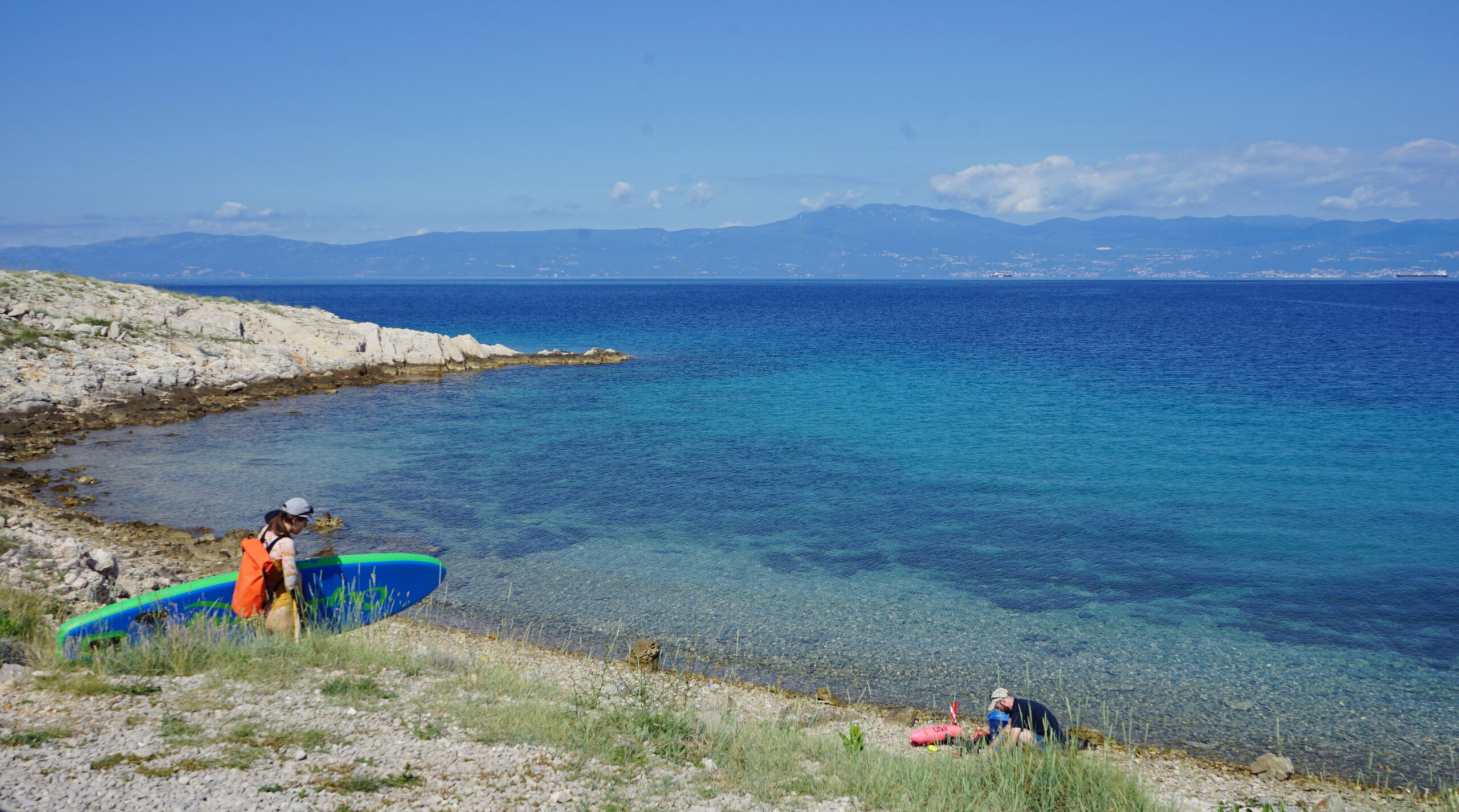
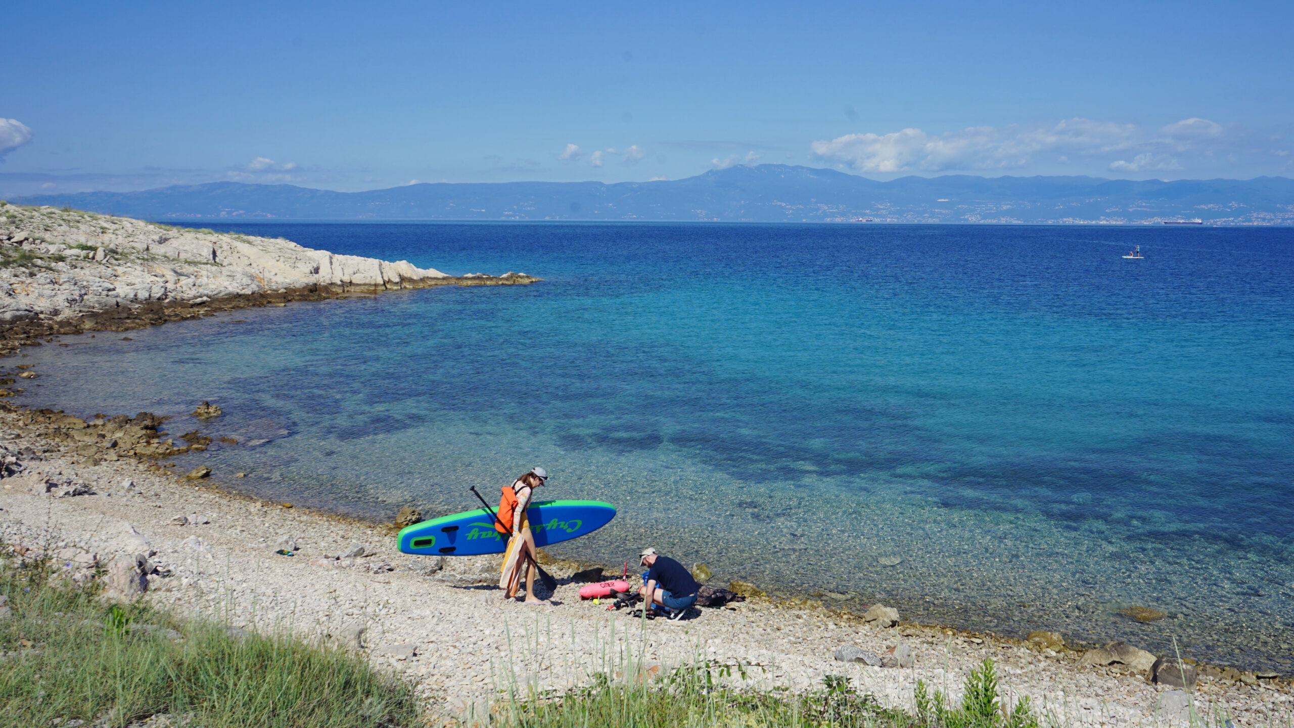
The small gravel parking lot above the bay is sufficient for the few visitors and it is usually not full anyway. If this is the case and there is little space available, you can also get your SUP ready down by the water.


Swimming
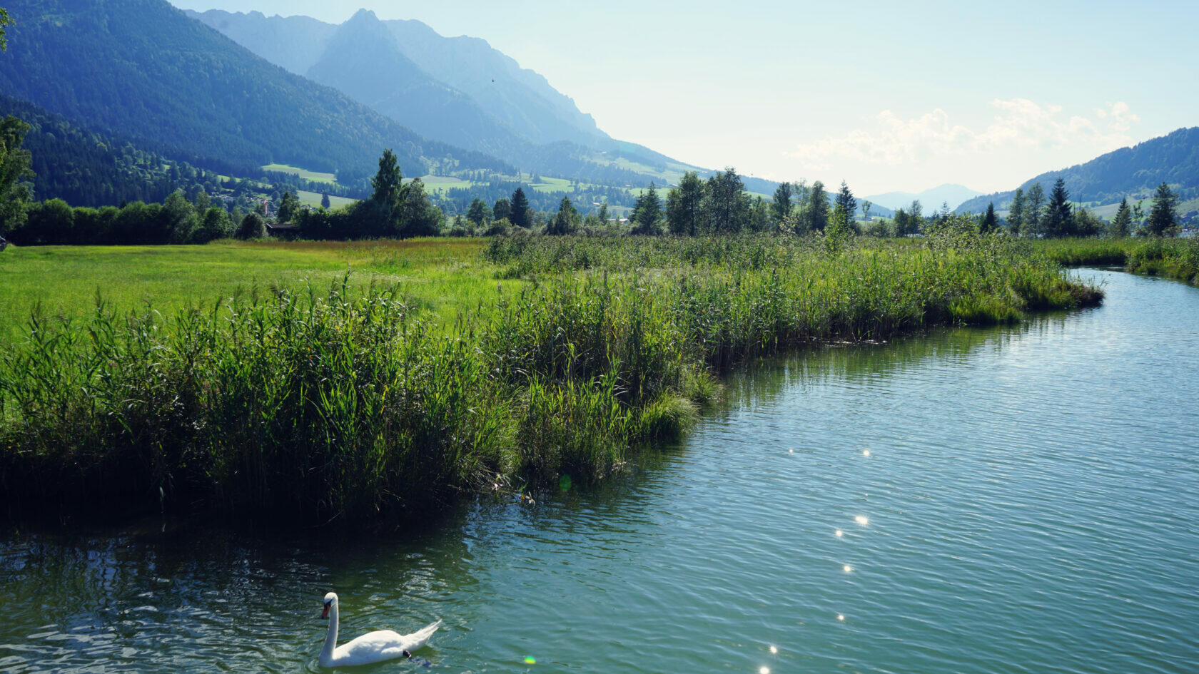
In general, it can be said that the bathing season on the island of Krk is between May and October. In the north of the island, too, the average water temperature in summer is up to 25°C, which only drops significantly in November. Even then, you can go for a dip at an average of 17°C.
The north coast, with its hidden mini-bays, is an insider tip not only for SUPing, but also for swimming, snorkeling and relaxing, which even many Croatians don't have on their radar. Since you can only experience pure nature here, there are no sanitary facilities or catering options. Bathers are therefore advised to take their rubbish with them and dispose of it elsewhere later.
Tour
From the small bay, turn right to the south shore of the island of Sveti Marko, then north along its east shore and back to the tour start.
Length
4.8 km
Time
1.5 - 2 hours
Start and landing
At the northernmost bay of Krk.
SUP rental
Paddletour
Laurinská 3, 81101 Bratislava
Phone +421 (0)907 777 187
The rental station is located in Šilo
Barren, but not lifeless
You really have to be quick, otherwise you can easily miss the access to a truly unique SUP spot. If you have crossed the 1430 m long Krk-Bridge (formerly called Tito Bridge) from the mainland and have just entered the island of Krk, you have to turn right immediately after the left turn through the gorge onto the inconspicuous gravel path. Before you even get to the parking lot, mind you! There is probably a reason why many locals don't even know about this spot - it is just so hidden.
Just don't be put off, because at the fork in the road there is a stop sign on the right and an iron gate blocks the way on the left. But after a friend has given me the tip to paddle here, I drive relaxed towards the gate, get out of the car and open it as if it were my own front door. Please make sure the gate is really opened wide enough so it doesn't scratch the car when driving through.
What follows is a classic Croatian gravel road adventure that takes me 550 m further in first gear at a snail's pace to a small, almost deserted bay. The great thing about Krk is that you can find a way to get to the water almost anywhere - even by car. There are so many hidden beaches, bays and dream spots here that you can discover something new on every trip. In short, Krk is a true SUP heaven.


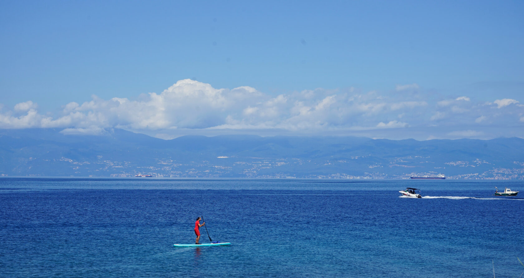
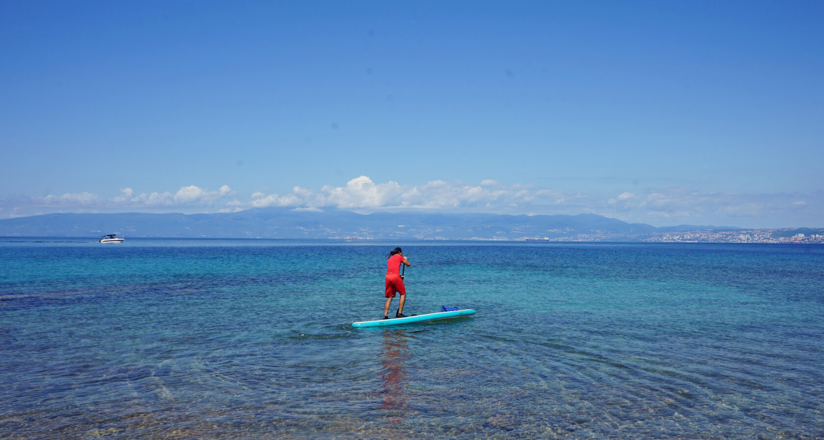
I can't believe my eyes when a Croatian couple is already pumping up their SUP in front of me and further down by the sea in front of the aura of Rijeka another SUP is making its turns. Yes, this is the right place for me! I get out, breathe in the salty air and go straight down to the water before inflating my SUP and packing my dry bag full of anticipation. The conditions couldn't be better, because more than one or two Beaufort will never blow in my face today, and the delicate waves of the crystal-clear water are anything but frightening.
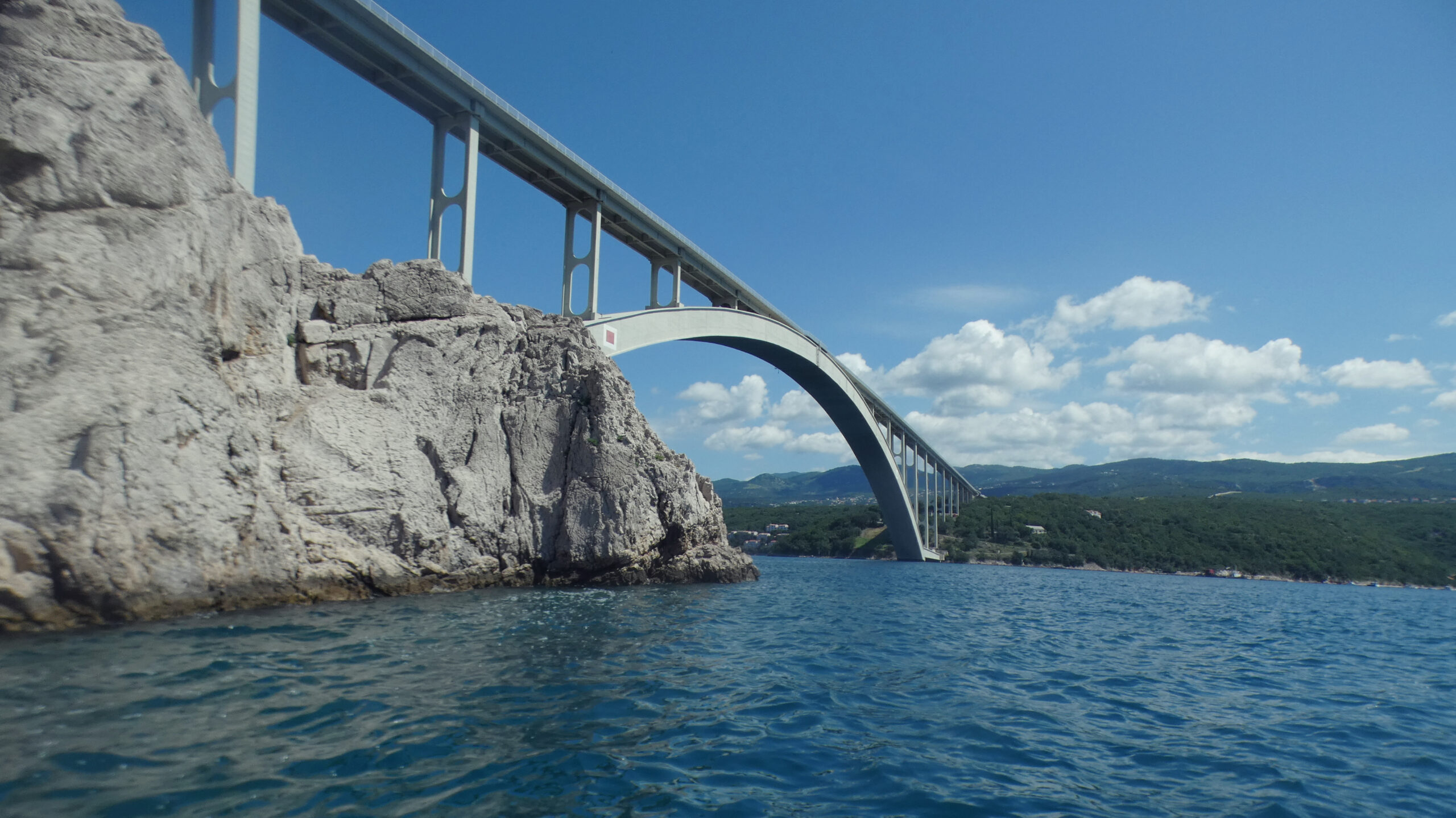
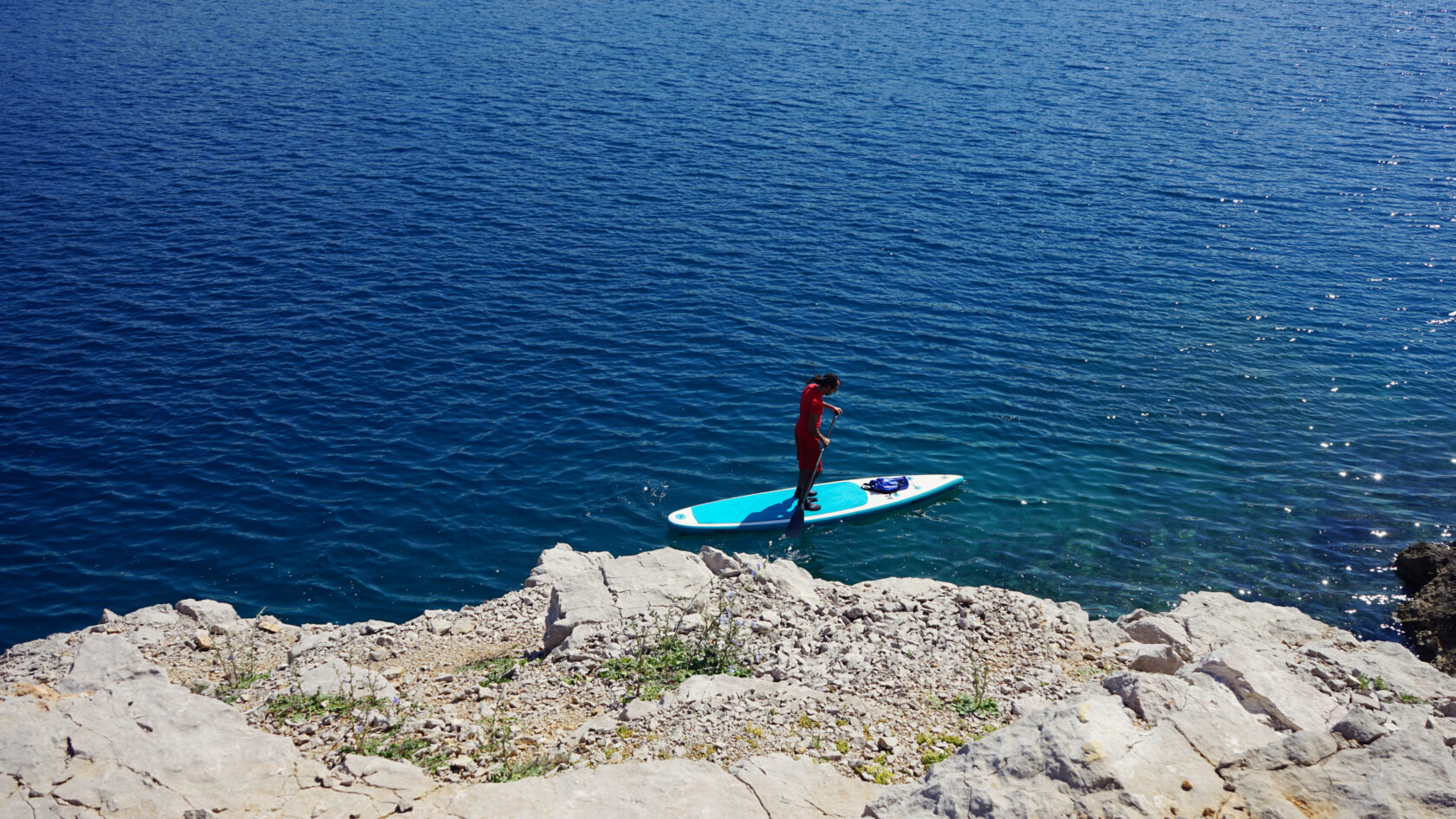
My tour around the island of Sveti Marko begins with a turn to the right, where several fishermen seem to be holding as many lines in the water as they can. You should therefore go around the small headland with sufficient distance from the shore. It quickly becomes very steep and you can't help but look up and then in front of you at the imposing Krk Bridge. The whole thing seems awe-inspiring, but not overwhelming.
My first stop is the flat rocky island of Selehovac, which seems to be a popular meeting place for seagulls. Due to the rugged rock formations, it makes sense not to disembark here, but there is always time to take a few photos. Luckily, it is still morning and the sea routes around the island of Sveti Marko are still relatively calm. Apart from a few small motorboats and yachts, hardly anyone is stirring up waves. Things often look very different in the second half of the day.
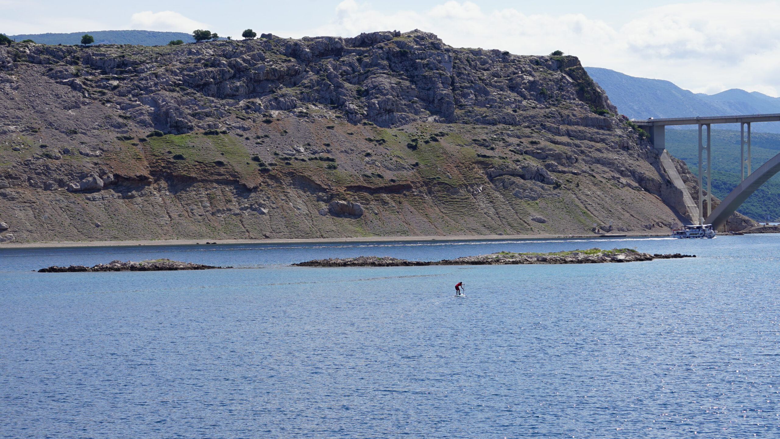
The best time to paddle under the 85 m high bridge, which was only opened in 1980 and has to be closed again and again because of the strong Bora winds, is early in the morning. Even if the 390 m long concrete arch between the mainland and the island of Sveti Marko is no longer the longest in the world, it still leaves a lasting impression.
I moor briefly under the bridge and look up at the steep karst walls. Something is moving, but I can't see it at first. Only when I scan the area more closely with my eyes do I notice two sheep high up on the scree hill. Their fur is almost the same color as the rock and visually they blend almost seamlessly with their rocky habitat due to their relatively miniature size.
I, on the other hand, will probably attract a lot of attention in this area, as the light headwind from the south probably discourages many paddlers from paddling further and to the left around the island. The steep islands to my left and right form a light wind channel with a south wind, which is why I am forced to use my paddle on the left around the south bank of the island of Sveti Marko. However, there are guided kajak tours around Sveti Marko - an eye-level option for people who don't want to paddle on their own.
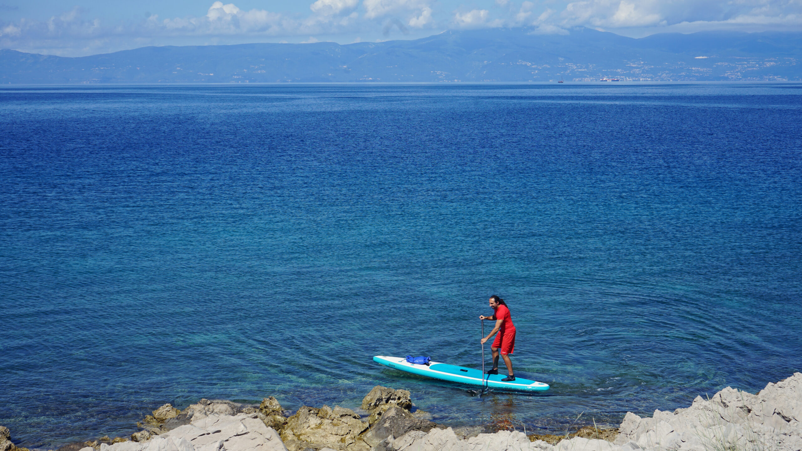
I am pushed slightly towards the rocky and steep shore, but with the light wind, today it is easy to manage and without much effort. I pause and let my gaze wander over the Velika Kapela Mountains (part of the Kapela Mountains) on the mainland. The view is phenomenal and my eyeballs play island hopping between the island of Krk and the mainland.
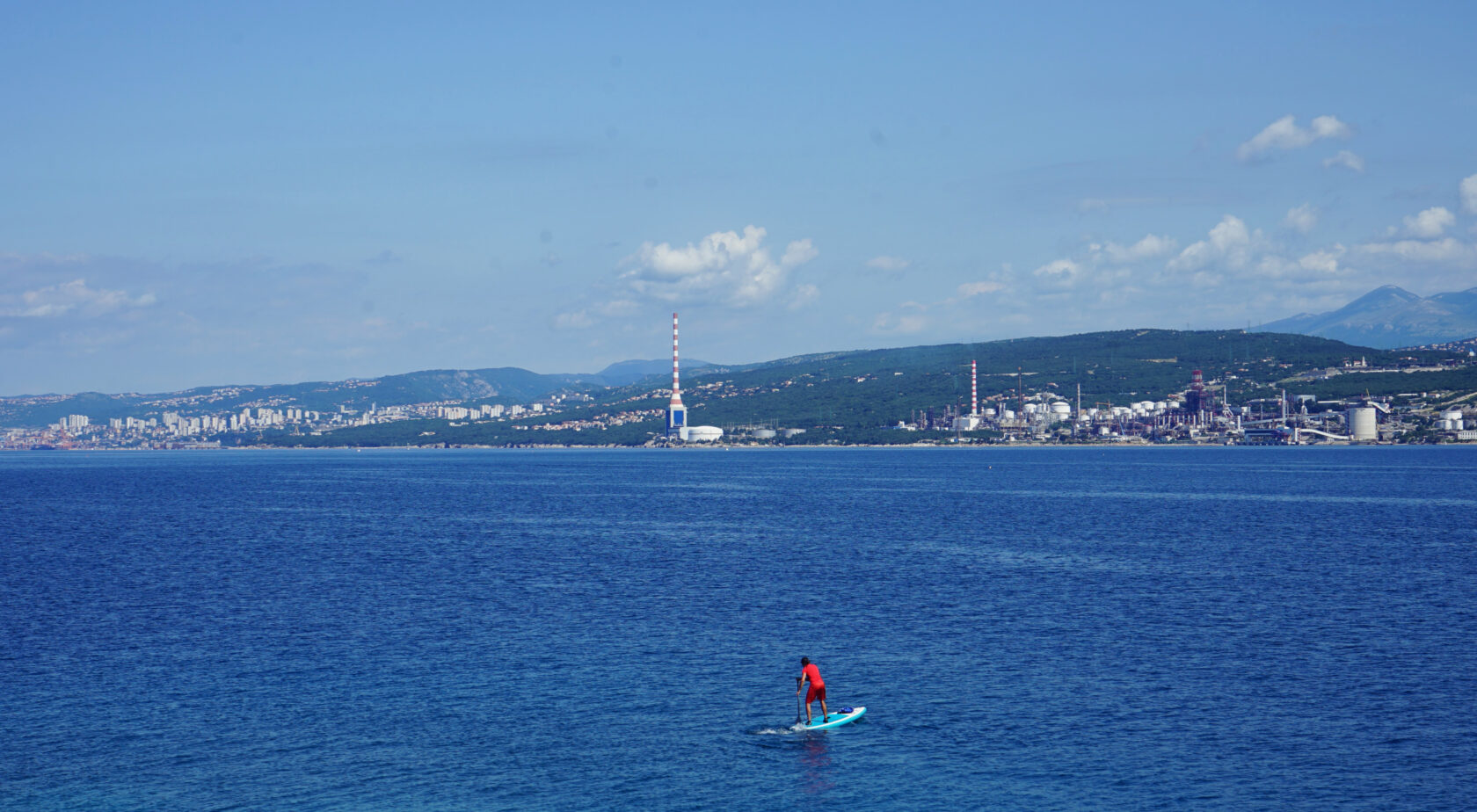
But I have to keep going because I don't want to keep my family waiting too long on the beach. I'm quickly around the corner and can already see the white buildings of the small town of Kraljevica on the mainland as I start paddling around the east shore of the island. Finally the breeze pushes me a little to the north and the light waves are good for a small, almost subtle, downwinder.
I aim for the red lieghthouse and suddenly hear a voice from somewhere behind me. The sounds of the sea and the wind around my ears obscure this acoustic perception and at first I think that one of the fishermen wanted to tell me something sitting in his boat. But that is not the case, the fisherman is looking relaxed towards the mainland.
Then I hear it again, more clearly now, to the left behind and above me, directly down from the steep island. Only now do I recognize the noise: it is obviously sheep, possibly high up on the island's plateau. I can't see them because their color matches that of the island. Meanwhile, the turquoise sea water beneath my feet competes with my mint-colored SUP board for the best color, and I can't decide which of the two colors is prettier.
But the water is so clear that I can see the seabed and estimate that it is hardly more than eight to ten meters deep. Along the west bank it even seemed to be only five meters deep in some places.
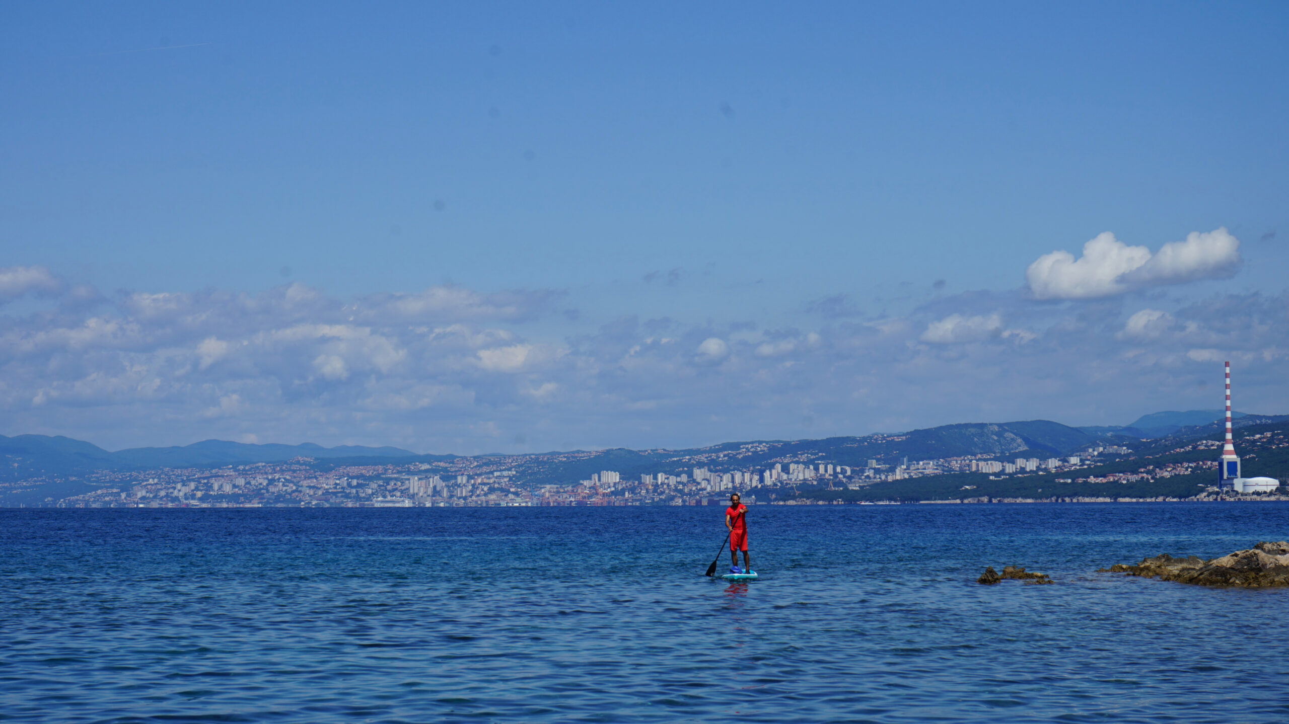
The face of the island changes noticeably as I paddle towards the oil refinery of Rijeka. The steep walls become flatter and vegetation becomes visible. The rocky bottom is lightly grassed and there are unexpectedly many trees and bushes growing here, whereas the northern shore is completely shallow and exudes an almost Caribbean vibe.
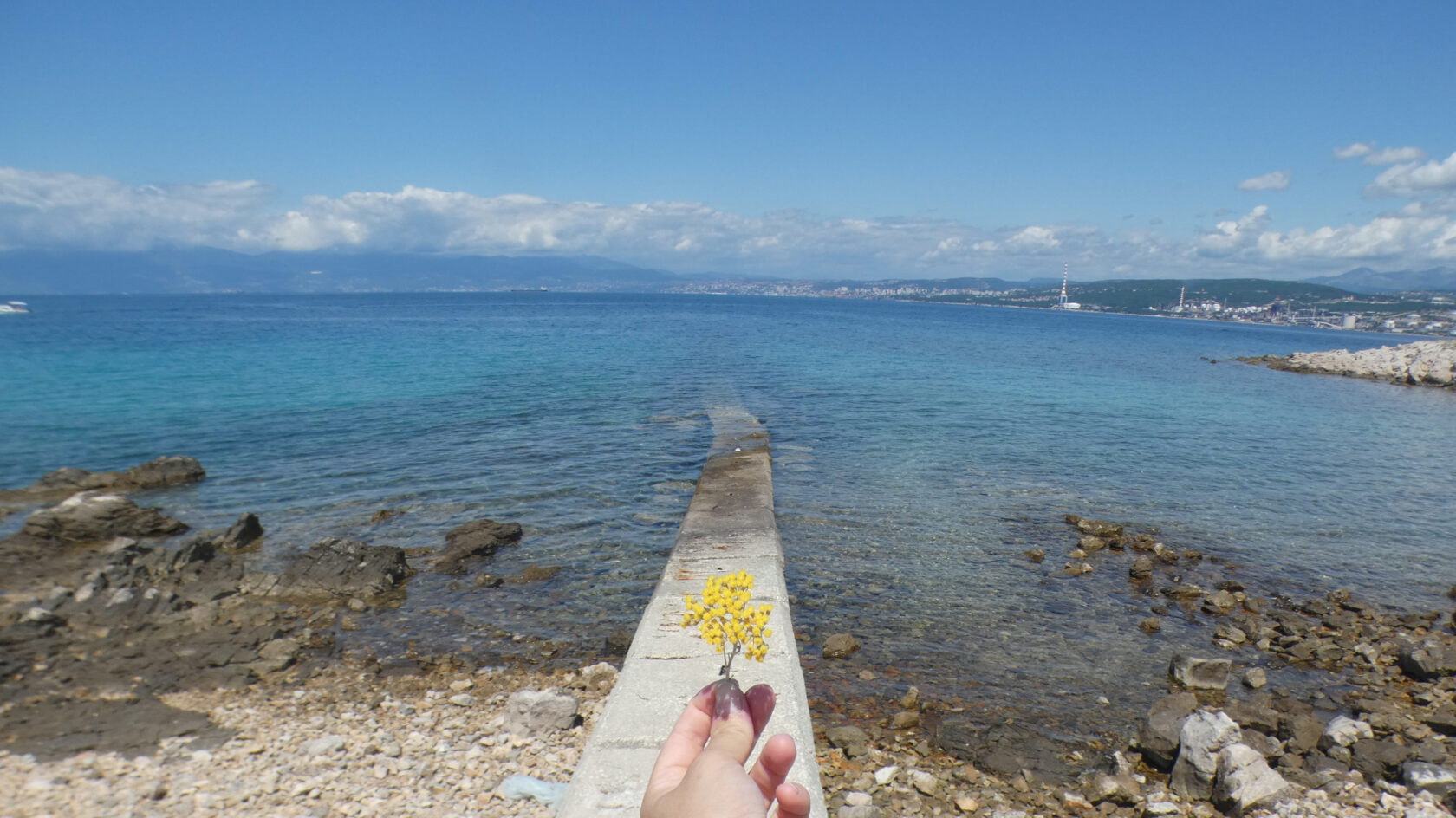
For example, immortelle flowers grow here, which you can discover in more detail at an Immortelle-Farm just a few kilometers from here. A few people have even set up their day camp here to enjoy the day by the water. They either laboriously came around the corner in a rubber dinghy, or they walked the almost 1.3 km across the island from one of the two small parking lots by the Krk Bridge.
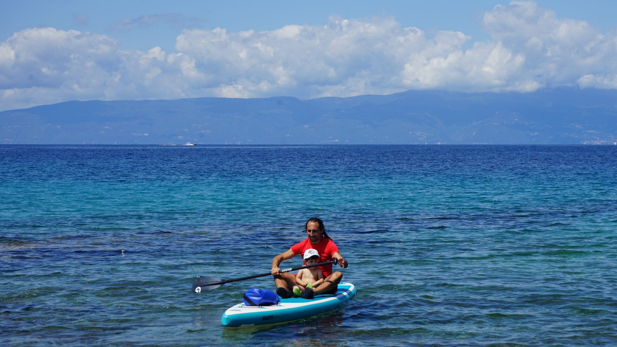
Before I paddle across the sea back to the starting point of the tour, I watch bathers with boats in a small bay of Sveti Marko and mentally say vidimo se sljedeći put before the waves carry me home. One of the fishermen has just made a small catch and I am now looking forward to a little extra round with my son, who - like his father - can hardly wait to explore the Croatian waters.
Alternatives: from the northernmost bay of Krk you can also paddle down to the left towards Omišalj and Njivice. To the right you go to the mainland or, for example, down the east coast to Soline Bay.


.


Leave a Reply